What is recorded here
Knockainy West holds a circular stone rampart thirty-eight metres across, built with large facing stones and a rubble core. An ancient fence leaves the north side of the entrance, turns southward and reaches the edge of the rock plateau. The fort stands among other field banks and small enclosures on the same limestone terrace, like one room in a house nobody finished.
Described by O'Kelly (1944, 22) as following; 'A circular stone rampart from 7' [2.1m] to 10' [3m] thick, built with a facing inside and out of large stones with a rubble core. There is no fosse. The entrance seems to have been on the E. side. On the outside of the fort and from the N. side of the entrance, a length of ancient fence runs out and turns southward continuing till it comes to the edge of the rock plateau on which the fort is built. The height of the rampart is 2' 6" [0.76m] to 3' [0.9m], and the overall diameter is 125' [38m]. In the neighbourhood of the fort ancient fences are visible'.
In 2004 this cashel was described as 'Downslope from the previous example [LI032-136----], this site is almost circular in plan, measuring 35m north-south internally. The enclosing stone bank contains evidence of coursing, but no entrance was noted. The interior of the site is uneven, but no definite features could be discerned. Also located on the same limestone terrace as the above examples are a series of stone and earth banks, as well as several subcircular enclosures, with other smaller ancillary enclosures attached. Other assorted field banks and small enclosures occur in the vicinity, but no definite pattern could be observed' (Condit and Coyne 2004).
Compiled by: Caimin O'Brien
Date of upload: 07 August 2019
See attached ASI aerial photographs ASIAP – 344/15 date taken 05/01/2003; 304/24 and 25 taken on 13/08/2002.
The monument record does not grant public access. Check the route and ask the landowner before entering private land.
- What survives
- Recorded monument
Places near here
 Mullach an Triuir - HachuredBarrow, ring-barrow · 373 yd
 KnockainyMountain / peak · 399 yd
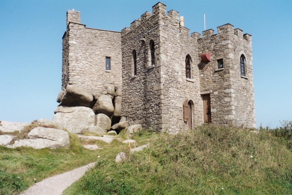 Carn of Uainide, HachuredBarrow, ring-barrow · 403 yd
 Knockainy Castle (in ruins)Castle, tower house · 969 yd
 Knockainy Creamerycreamery · 1054 yd
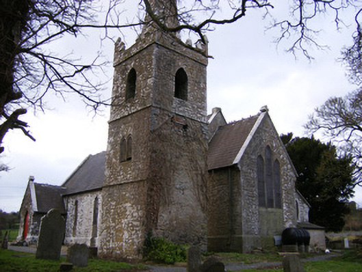 Saint John's Church (Knockainy)church/chapel · 1074 yd
 Desmond Castle (in ruins)Castle, unclassified · 1214 yd
 Flat cemetery in Knockainy WestFlat cemetery · 1.1 mi
 Glen BogForest · 1.4 mi
 Kilteely HillMountain / peak · 4.4 mi
 St Patrick's WellSpring · 4.6 mi
 St. Patrick's WellSpring · 4.8 mi