
What is recorded here
In tillage field with cropmark enclosure (DU014-121----) to S. Cropmark of rectangular-shaped area with semi-circular shaped cropmark attached to N side visible on Digital Globe orthoimage taken 24/06/2018 and clearly visible on Apple Maps aerial imagery.
See attached orthoimages
Compiled by: Caimin O'Brien based on details provided by Jean-Charles Caillère
Date of upload: 20 December 2022
The monument record does not grant public access. Check the route and ask the landowner before entering private land.
- What survives
- Recorded monument
Places near here
 Enclosure in BallystruanEnclosure · 54 yd
 The MoundViewpoint · 242 yd
 Cremation pit in BallystruanCremation pit · 279 yd
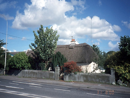 Dardistown Househouse · 851 yd
 Discover Ireland CentreVisitor information · 1251 yd
 Corballis Castle (site of)Castle, unclassified · 1260 yd
 Dublin Airportairport · 1488 yd
 Graveyard in Unknown TownlandGraveyard · 1.4 mi
 Castle (site of)Castle, unclassified · 1.9 mi
 ChryslerMemorial · 1.9 mi
 The JackoWood · 2.8 mi
 Killing of David Byrnemurder · 2.8 mi
Other information
Photo: Credit not shown in the picture search · Rights wording not checked; contact us if this picture should be removed