
What is recorded here
Geophysical survey (Licence no. 08R117) and test excavation (Licence no. 09E0478) underaken as part of the proposed Metro North development revealed a sub-rectangular enclosure (56m E-W x 45m N-S). It consisted of an enclosure ditch (1.9–3.5 m wide) on three sides, branching into a double ditch on the remaining W side, with metalled surfaces, pits, and shallower, narrower ditches surviving in its interior. Some 29.5m to the E was a shallow, metalled NNE-SSW hollow way (c. 4.2m wide and 0.15m–0.53m deep). The monument may date from the early medieval era, based on the absence of (later) medieval pottery and on the recovery of a fragment of concave ‘furnace bottom’ iron slag from a lower fill of the enclosure ditch (Frazer 2009, 23).
Compiled by: Christine Baker
Date of upload: 6 February 2015
A local fairy fort (ringfort/rath); wider significance not recorded.
The monument record does not grant public access. Check the route and ask the landowner before entering private land.
- What survives
- Recorded monument
Places near here
 Earthwork in BallystruanEarthwork · 54 yd
 Cremation pit in BallystruanCremation pit · 231 yd
 The MoundViewpoint · 284 yd
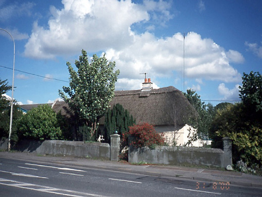 Dardistown Househouse · 834 yd
 Discover Ireland CentreVisitor information · 1286 yd
 Corballis Castle (site of)Castle, unclassified · 1290 yd
 Dublin Airportairport · 1537 yd
 Graveyard in Unknown TownlandGraveyard · 1.4 mi
 Castle (site of)Castle, unclassified · 1.9 mi
 ChryslerMemorial · 1.9 mi
 Killing of David Byrnemurder · 2.7 mi
 The JackoWood · 2.8 mi
Other information
Photo: Credit not shown in the picture search · Rights wording not checked; contact us if this picture should be removed