What is recorded here
Unknown Townland, County Dublin: a forty-metre ringfort, lost under concrete. The 1970 photograph caught its ghost in the crops before the housing estate and wholesale outlet erased it from human sight. Perhaps the fairies simply moved the fort downward, beneath the foundations, where no builder can touch it.
Located on relatively level ground with a stream running along to the west of the site. An aerial photograph taken in 1970 shows a cropmark of a roughly circular enclosure (diam. c. 40m) with traces of an outer enclosure and a rectangular feature to the SE. These sites have had a housing estate and wholesale outlet built over them. Not visible at ground level.
Compiled by: Geraldine Stout
Date of upload: 26 August 2011
The monument record does not grant public access. Check the route and ask the landowner before entering private land.
- What survives
- Recorded monument
Places near here
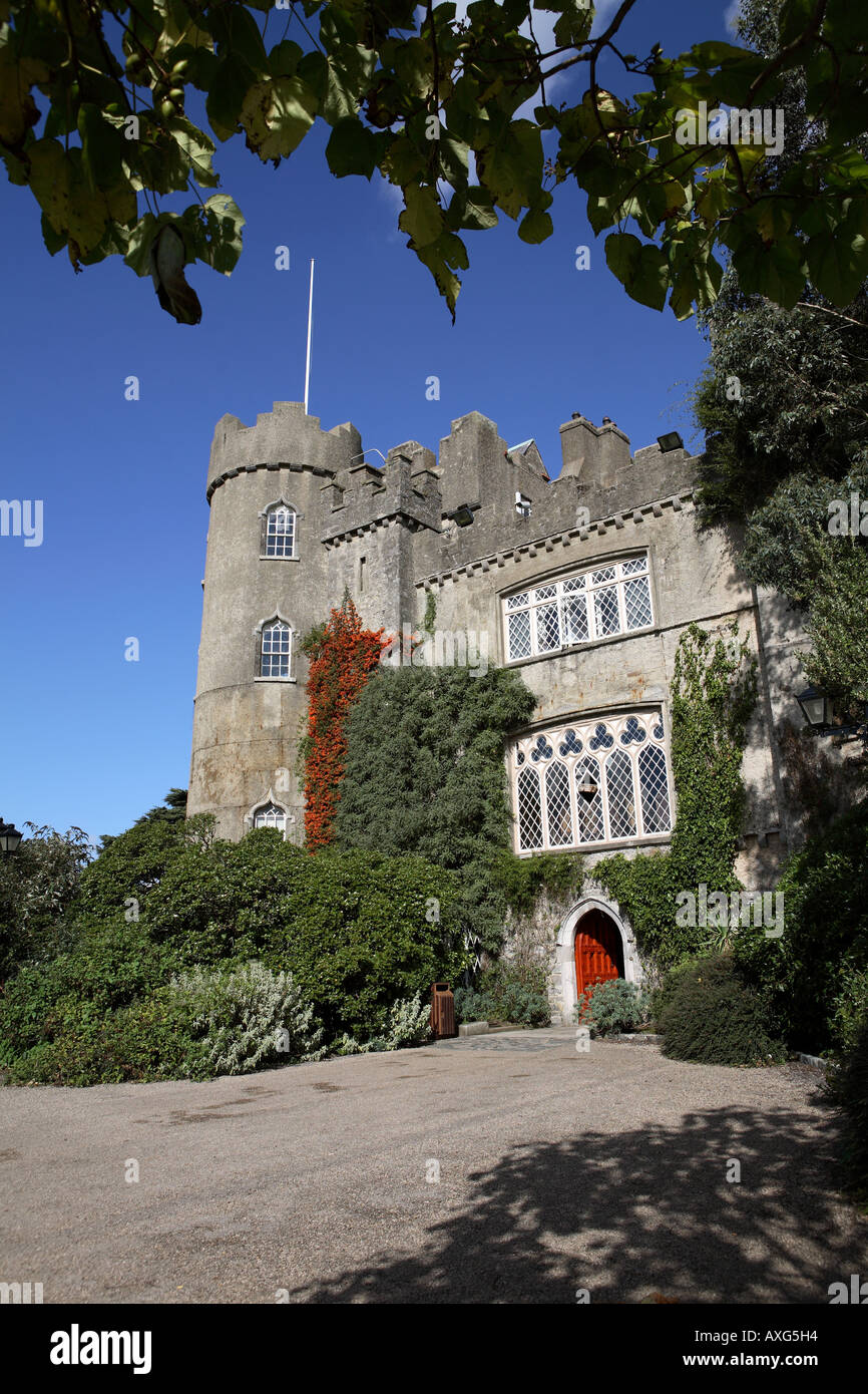 Enclosure in Unknown TownlandEnclosure · 214 yd
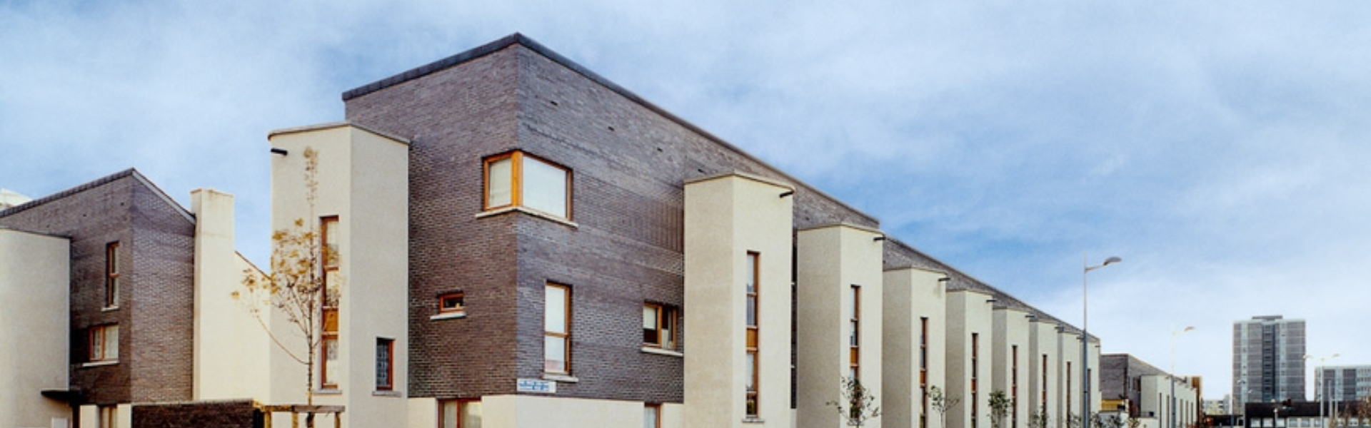 Enclosure in BalcurrisEnclosure · 438 yd
 Castle (site of)Castle, unclassified · 943 yd
 Jamestown HouseHouse, indeterminate date · 1021 yd
 BallymunVisitor information · 1201 yd
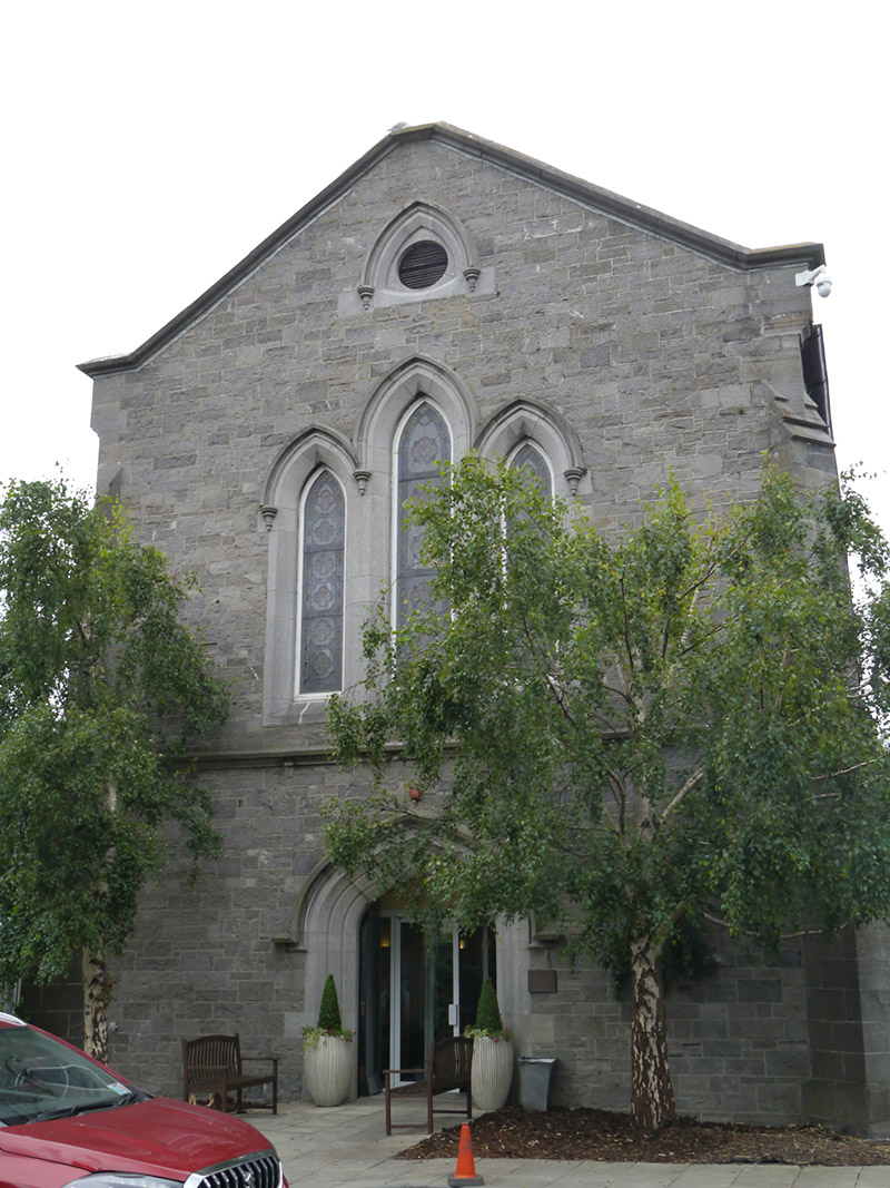 St. Pappin's Silver Streamchurch/chapel · 1352 yd
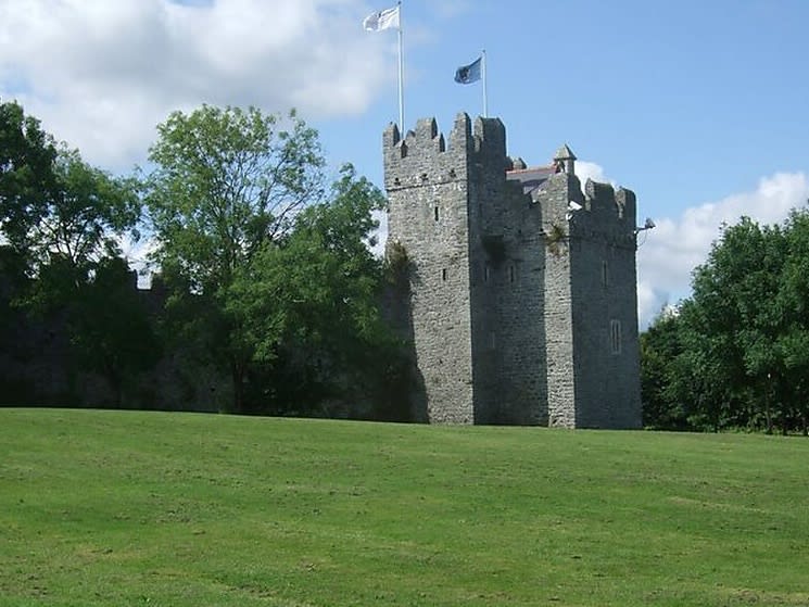 Dubber Castle (site of)Castle, unclassified · 1.1 mi
 Liam Ó MaoilíosaMemorial · 1.2 mi
 Horizon Logistics ParkVisitor information · 1.2 mi
 Richard McKeeMemorial · 1.3 mi
 BaldcypressBaldcypress · 2.0 mi
 Dawn RedwoodDawn Redwood · 2.0 mi