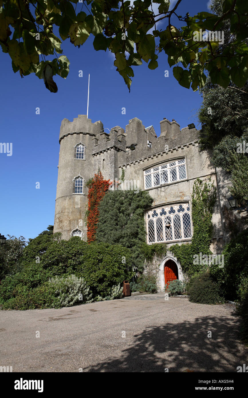
What is recorded here
On relatively level ground with a stream running along to the west of the site. An aerial photograph taken in 1970 shows a cropmark of a roughly circular enclosure (diam. c. 40m) with traces of an outer enclosure and a rectangular feature to the SE. These sites have had a housing estate and wholesale outlet built over them. No visible surface trace.
Compiled by: Geraldine Stout
Date of upload: 26 August 2011
The monument record does not grant public access. Check the route and ask the landowner before entering private land.
- What survives
- Recorded monument
Places near here
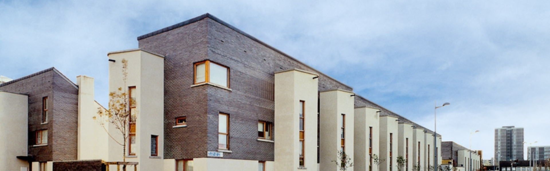 Enclosure in BalcurrisEnclosure · 474 yd
 Pit in Poppintree (castleknock By.)Pit · 961 yd
 BallymunVisitor information · 994 yd
 Jamestown HouseHouse, indeterminate date · 1089 yd
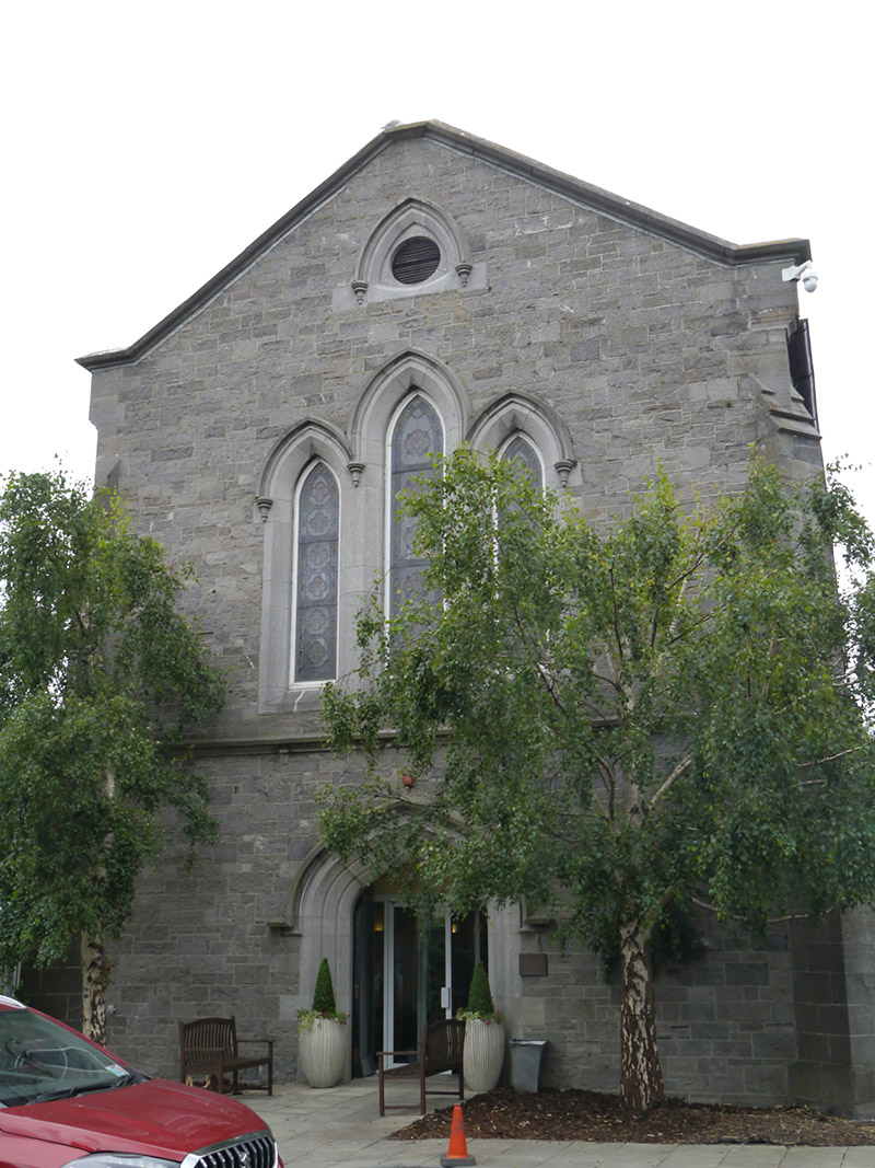 St. Pappin's Silver Streamchurch/chapel · 1141 yd
 Castle (site of)Castle, unclassified · 1156 yd
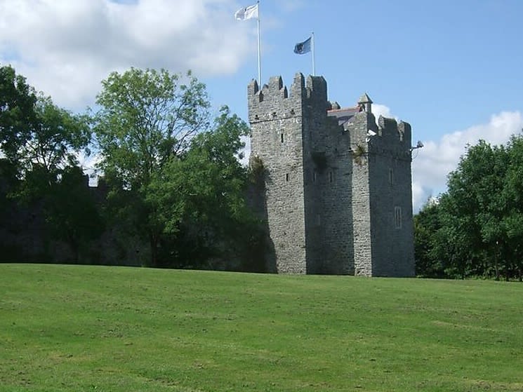 Dubber Castle (site of)Castle, unclassified · 1.3 mi
 Liam Ó MaoilíosaMemorial · 1.3 mi
 Richard McKeeMemorial · 1.3 mi
 Horizon Logistics ParkVisitor information · 1.3 mi
 BaldcypressBaldcypress · 1.9 mi
 Dawn RedwoodDawn Redwood · 2.0 mi
Other information
Photo: Credit not shown in the picture search · Rights wording not checked; contact us if this picture should be removed