
What is recorded here
Kilshane castle vanished beneath a acre of farm sheds, its stones and story buried when the ground was lowered in the middle of the 20th century. The castle once fronted the road, but the farmyard took its place, and the castle disappeared from sight. Excavations found no definite remains, only boulder clay and the shadow of what was covered.
The site is to the rear of a dilapidated farmyard on a T junction. This location is based on the 1st edition OS 6-inch map (1838), which places the legend 'Site of Castle' directly to the south of the roadside farm buildings still visible today, almost exactly in the centre of the present farmyard. This identification is consistent with the OS Name Book for Santry parish, which states: 'the offices and out-houses stand on the site of Castle which formerly fronted the road'. Not visible at ground level.
Monitoring (Licence no. 05E0044) was undertaken at the reputed location of Meakstown Castle in advance of development. It followed from two test excavation untaken at the site in 1999 (Licence no. 99E0351/Ext.). No definitive remains of Meakstown Castle were found in either assessment. The monitoring also failed to uncover similar definite archaeological remains relating to the castle. The site of the castle was occupied by farm buildings covering an area of c. 1 acre. Boulder clay was identified under the foundations and it was clear that the ground level was significantly reduced when these sheds were built in the middle of the 20th century.
The absence of any buildings on the site on John Rocque’s map of 1760 suggests that the castle site may be located elsewhere. The most likely candidate is the site of Meakstown House (DU014-020001-), located on the northern side of St Margaret's Road immediately to the north of the supposed site of the castle (O’Donovan Excavations.ie 2006:657).
Compiled by: Geraldine Stout
Updated by: Christine Baker
Date of upload: 22 January 2015
The monument record does not grant public access. Check the route and ask the landowner before entering private land.
- What survives
- Recorded monument
Places near here
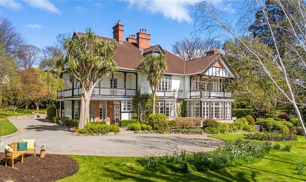 Habitation site in MeakstownHabitation site · 54 yd
 Pit in Poppintree (castleknock By.)Pit · 230 yd
 Jamestown HouseHouse, indeterminate date · 1118 yd
 The Old Red LionInn · 1132 yd
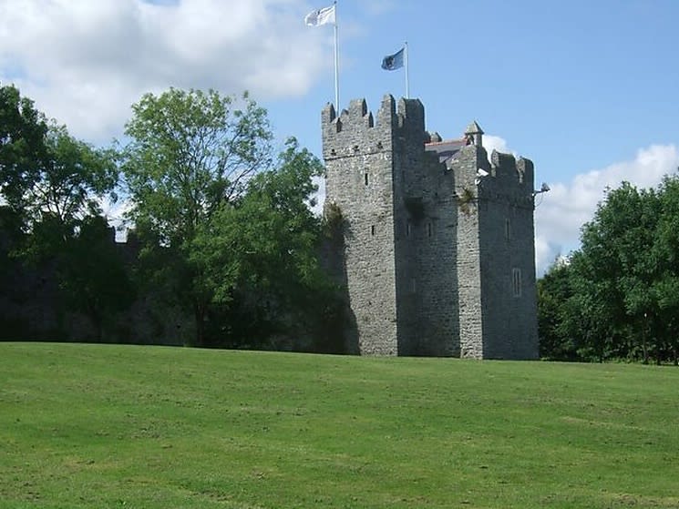 Dubber Castle (site of)Castle, unclassified · 1152 yd
 Liam Ó MaoilíosaMemorial · 1632 yd
 Horizon Logistics ParkVisitor information · 1720 yd
 BallymunVisitor information · 1.2 mi
 Richard McKeeMemorial · 1.3 mi
 Connaberry MoatCastle, motte and bailey · 1.8 mi
 BaldcypressBaldcypress · 2.3 mi
 Dawn RedwoodDawn Redwood · 2.3 mi
Other information
Photo: Credit not shown in the picture search · Rights wording not checked; contact us if this picture should be removed