
What is recorded here
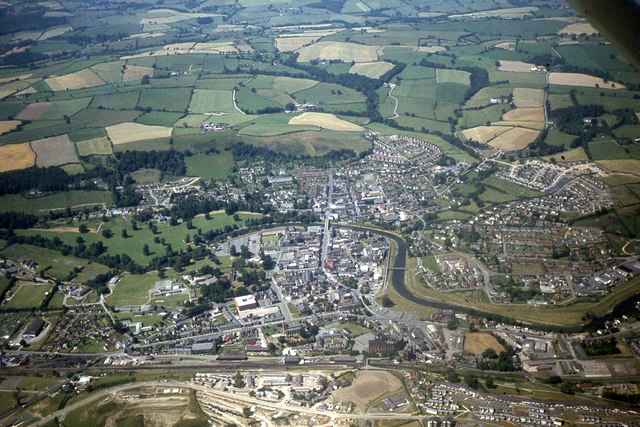
Situated on a natural rise southwest of Dunsoghly Castle (DU014-005001-). Marked on the 1837 OS map as Connaberry Moat. The site comprises a raised area, roughly oval in plan (80m NE-SW; 65m SE-NW; H 3m). Its flat top is occupied by a farm and tree cover. Traces of an outer bank are visible on an aerial photograph taken by Leo Swan. Not visible at ground level.
Compiled by: Geraldine Stout
Updated by: Christine Baker
Date of upload: 22 January 2015
Built by the de Soules family in the 13th century, Connaberry Moat is remembered as part of a network of defensive and residential sites associated with a prominent Scottish noble family, and for its historical connection to the region's medieval power struggles.
The monument record does not grant public access. Check the route and ask the landowner before entering private land.
- What survives
- Recorded monument
Places near here
 Chapel (disused)Chapel · 178 yd
 CastleCastle, tower house · 188 yd
 IndicatedHouse, 16th/17th century · 201 yd
 Ring-ditch in Newtown (coolock By., Finglas Ed)Ring-ditch · 365 yd
 Enclosure in Newtown (coolock By., Finglas Ed)Enclosure · 779 yd
 Depicted Kilshane MoatCastle, motte · 1596 yd
 Horizon Logistics ParkVisitor information · 1.3 mi
 Liam Ó MaoilíosaMemorial · 2.1 mi
 Richard McKeeMemorial · 2.7 mi
 The MoundViewpoint · 2.8 mi
 The JackoWood · 3.9 mi
 BaldcypressBaldcypress · 4.0 mi
Other information
Photo: Credit not shown in the picture search · Rights wording not checked; contact us if this picture should be removed