What is recorded here
An aerial photograph (CUCAP, BDQ 69) showed a cropmark of a roughly circular, single-ditched enclosure (diam. c. 30m) in low-lying pasture. There is an opening in the ESE. Not visible at ground level. The site was subject to archaeological assessment (lLicence no. 07E0761) but no archaeological features identified. It was surmised that the cropmark was either a geological feature or in a different location. Subsequent monitoring found no archaeological features. Now IKEA.
Compiled by: Geraldine Stout
Updated by; Christine Baker
Date of upload: 22 January 2015
A local fairy fort (ringfort/rath); wider significance not recorded.
The monument record does not grant public access. Check the route and ask the landowner before entering private land.
- What survives
- Recorded monument
Places near here
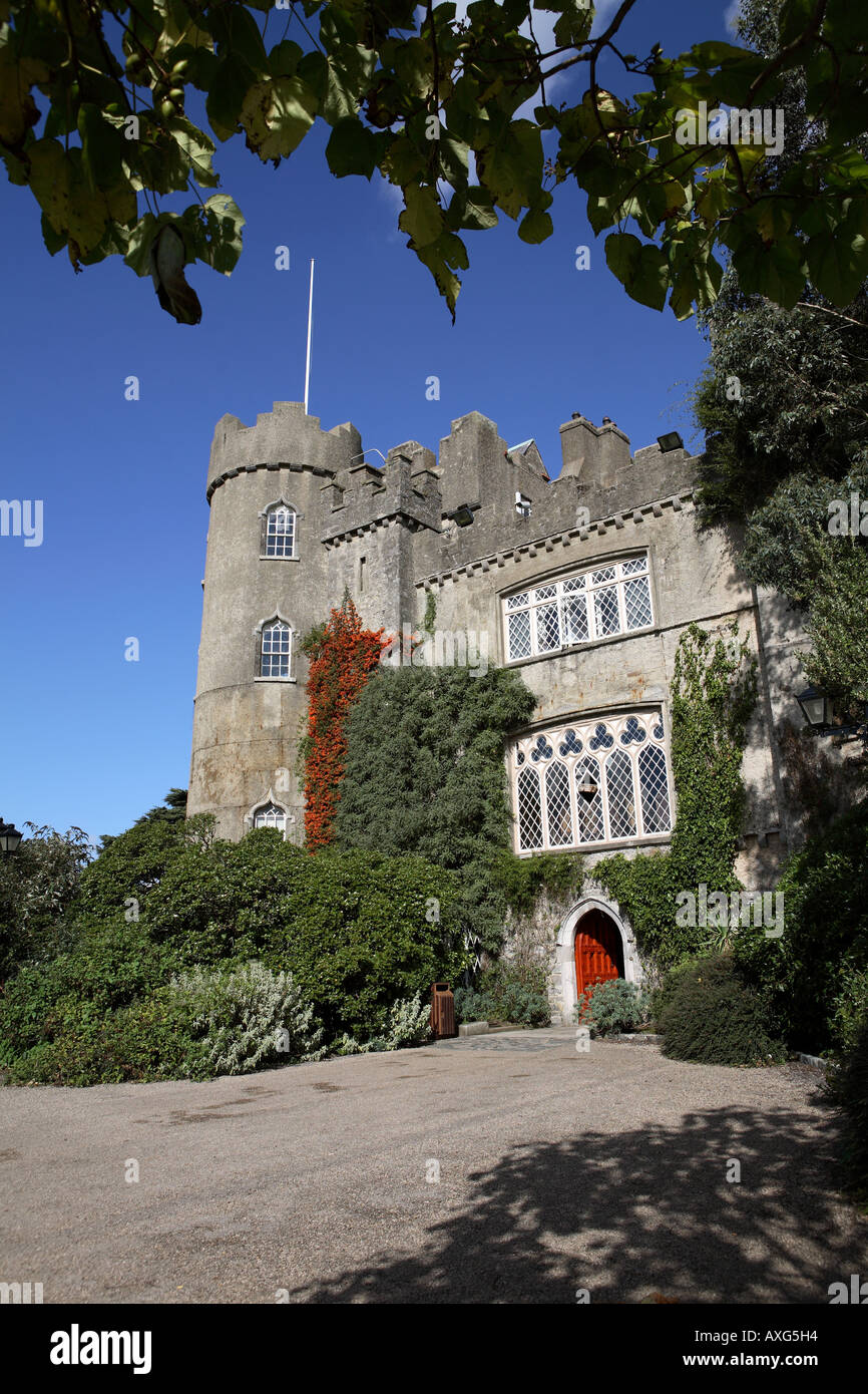 Enclosure in Unknown TownlandEnclosure · 474 yd
 Enclosure in SillogeEnclosure · 809 yd
 Castle (site of)Castle, unclassified · 1117 yd
 BallymunVisitor information · 1157 yd
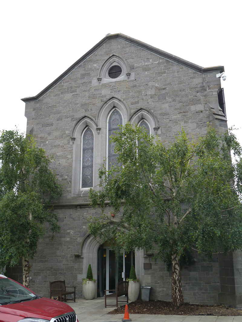 St. Pappin's Silver Streamchurch/chapel · 1332 yd
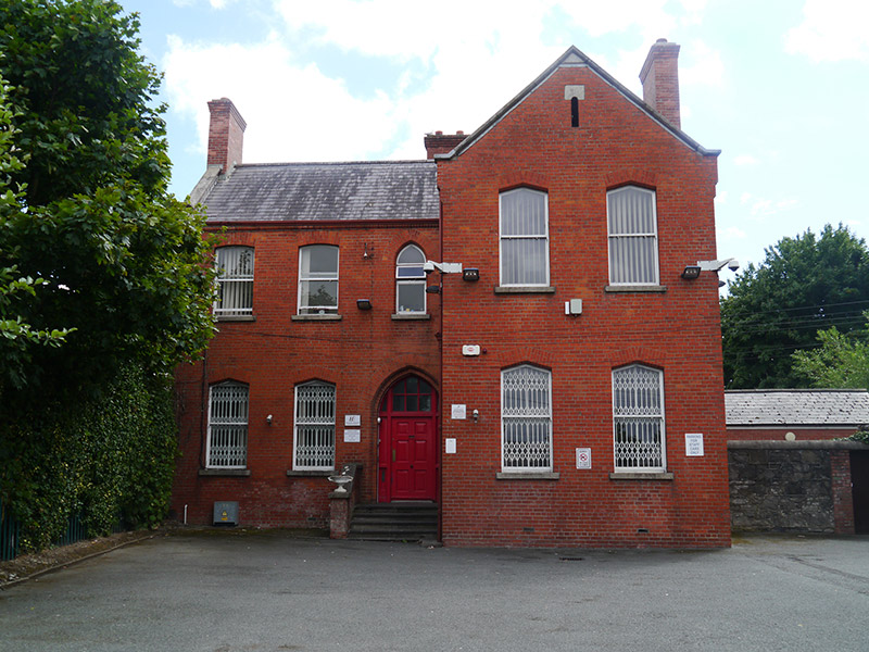 Domville House Clinicpresbytery/parochial/curate's house · 1349 yd
 Horizon Logistics ParkVisitor information · 1.1 mi
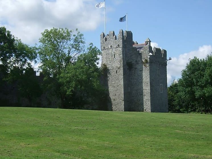 Dubber Castle (site of)Castle, unclassified · 1.1 mi
 Liam Ó MaoilíosaMemorial · 1.4 mi
 Richard McKeeMemorial · 1.5 mi
 BaldcypressBaldcypress · 2.2 mi
 Dawn RedwoodDawn Redwood · 2.2 mi
Other information
Photo: Credit not shown in the picture search · Rights wording not checked; contact us if this picture should be removed