
What is recorded here
Dysart National School in Dysart has partially blocked windows and an 1835 date plaque still reporting for duty. After generations of telling children to stop looking out, the school has finally taken its own advice. Took it long enough.
Detached seven-bay single-storey rendered national school, dated 1835, no longer in use. Rectangular-plan, single-bay projecting entrance porch to north, flat-roofed extension to south c. 1970. Hipped slate roof, clay ridge and hip tiles, some cast-iron rainwater goods. Painted roughcast-rendered walling, date plaque "Dysart National School 1835" to west elevation. Square-headed window openings, now partially blocked up, limestone sills, timber casement windows c. 1970. Square-headed door opening to entrance porch, painted timber vertically-sheeted door. School set back from road, roughcast-rendered boundary walling to west accessed through rendered gate piers with pyramidal caps and wrought-iron gates.
Dysart National School is a simple structure and a good example of rural school building in the early-nineteenth century. Plain unadorned surfaces and balanced proportions are characteristic of the type and the site retains a variety of attractive wrought-iron gates. As a local national school, an important amenity in rural communities, this is also of social interest, forming an interesting group with the parish church to its west.
From the Buildings of Ireland (National Inventory of Architectural Heritage) record 13901820
This does not grant access. Most recorded buildings are privately owned; view them only from public ground unless the owner allows entry.
Places near here
 Saint Borchill's Catholic ChurchChurch/chapel · 136 yd
 Graveyard in DysartGraveyard · 589 yd
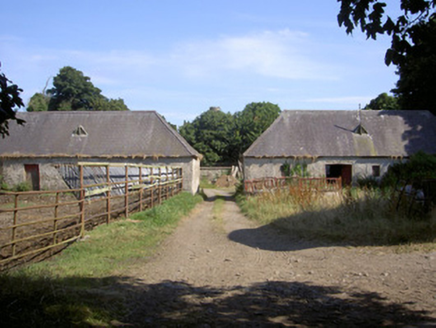 Barmeath CastleFarmyard complex · 759 yd
 BarmeathCastle, tower house · 823 yd
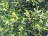 Sweet bay846 yd
 European Yew899 yd
 IndicatedCastle, tower house · 1.0 mi
 ToberanelshyHoly well · 2.8 mi
 IndicatedGraveyard · 3.1 mi
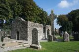 MonasterboiceEarly monastic site · 5.1 mi
 Muiredach's High CrossHeritage attraction · 5.1 mi
 Port OrielPicnic place · 5.2 mi
Pictures: Kieran Campbell, Geograph · CC BY-SA 2.0; Kieran Campbell, Geograph · Creative Commons Attribution-ShareAlike 2.0; National Inventory of Architectural Heritage; Maker named on the Wikimedia Commons picture page · CC BY-SA 3.0; Sitomon, Wikimedia Commons · CC BY-SA 2.0; Garry Dickinson, Geograph · CC BY-SA 2.0; Andreas F. Borchert, Wikimedia Commons · CC BY-SA 4.0; Adriao, Wikimedia Commons · CC BY-SA 4.0; Oliver Dixon, Geograph · CC BY-SA 2.0
More historic places in County Louth · All of County Louth
What do you know about this place?