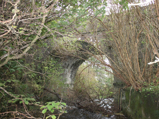
What is recorded here
Single-arch road bridge over stream, built c. 1800. Round-headed arch with cut stone voussoirs, rubble stone piers and stone stringcourse. Rubble stone parapet with squared stone coping, rendered in places and with stringcourse to deck level. Stream partly canalised with rendered retaining wall to west bank. Double carriageway with tarmacadam deck.
A handsome bridge with good architectural detailing including cut stone voussoirs and stringcourses. Although crossing a fairly minor stream, a bridge of this scale was required to maintain the level of the road. Its continued use is testimony to its engineering and construction. A number of tuck and flax mills are marked just downstream of the bridge on the Ordnance Survey first edition six-inch map of c. 1837.
This does not grant access. Most recorded buildings are privately owned; view them only from public ground unless the owner allows entry.
Places near here
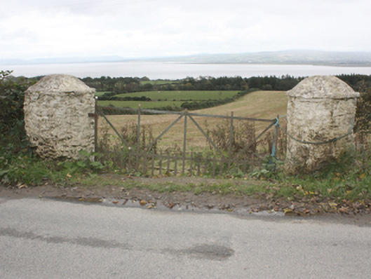 gates/railings/walls, ESKAHEENgates/railings/walls · 878 yd
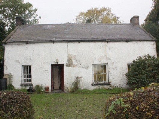 house, Mitchells Townhouse · 1352 yd
 Eskaheen GraveyardGraveyard · 1.1 mi
 Eskaheen Old ChurchChurch · 1.1 mi
 Muff Forest, Lisnagra WoodsWoodland walk · 1.8 mi
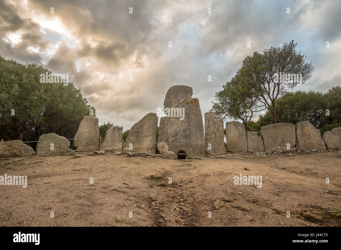 Giant's GraveArchaeological place · 2.4 mi
 Quigley's PointHeadland · 3.4 mi
 Scalp MountainMountain / peak · 4.2 mi
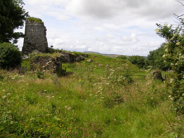 CASTLE & EARTHWORK ENCLOSURE: DOHERTY TOWER or CASTLE AILEACH in Elagh MoreCASTLE & EARTHWORK ENCLOSURE: DOHERTY TOWER or CASTLE AILEACH · 5.3 mi
 Siege of Derry Boom Stone"The Boom Stone" (Traditionally part of 17th century boom across the River Foyle during the Siege of Derry) · 5.4 mi
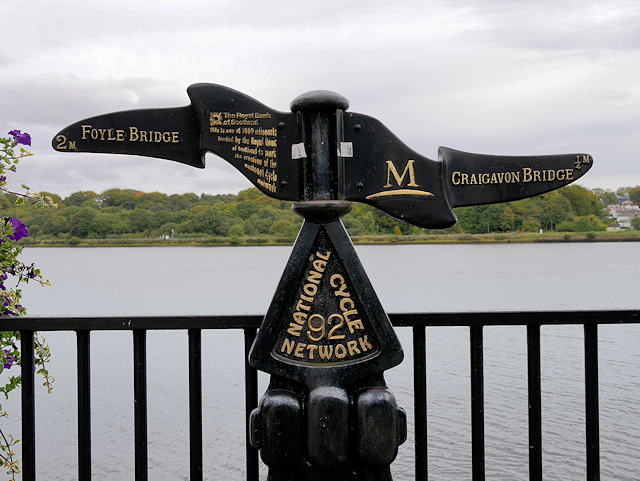 Millennium MilepostVisitor information · 7.1 mi
 Tower MuseumMuseum · 7.3 mi
Other information
Photo: National Inventory of Architectural Heritage · Website use allowed for educational or private purposes with source credit