What is recorded here
Meadow ridges hold more marks than men admit. The stone stands tall enough to touch, angled across the sky like a finger pointing at Foyle water. Cupmarks and circles press into its skin, waiting for palms to remember what tongues forgot.
A standing stone 2.25m high × 1m wide × c. .6m thick; NE-SW. The SE face has numerous cupmarks, cup-and-circle(s) motifs, a cup-and-three circles with radial line and a spiral. There is also a single cup-mark on the NE side. Situated on pasture land on a ridge overlooking Lough Foyle.
The above description was derived from the 'Archaeological Survey of County Donegal. A description of the field antiquities of the County from the Mesolithic Period to the 17th century.' Compiled by: Brian Lacey with Eamon Cody, Claire Cotter, Judy Cuppage, Noel Dunne, Vincent Hurley, Celie O'Rahilly, Paul Walsh and Seán Ó Nualláin (Lifford: Donegal County Council, 1983). In certain instances the entries have been revised and updated.
Date of upload: 22 September 2008
Probably dates to the Neolithic or Bronze Age, given the presence of cup-and-ring markings. Such stones are often associated with ritual or ceremonial use, possibly linked to astronomical observations or territorial markers.
The monument record does not grant public access. Check the route and ask the landowner before entering private land.
- What survives
- Recorded monument
Places near here
 Ardmore Earthen RingfortFairy fort / earthen ringfort · 979 yd
 Laurel Hillhouse · 1164 yd
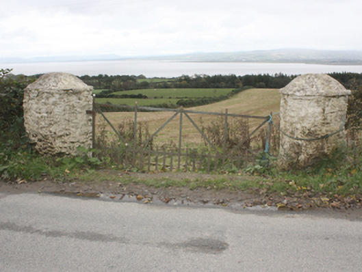 gates/railings/wallsgates/railings/walls · 1282 yd
 Eskaheen GraveyardGraveyard · 1592 yd
 Former Eskaheen Fairy FortFairy fort / ringfort · 1.1 mi
 Muff ForestWoodland walk · 1.3 mi
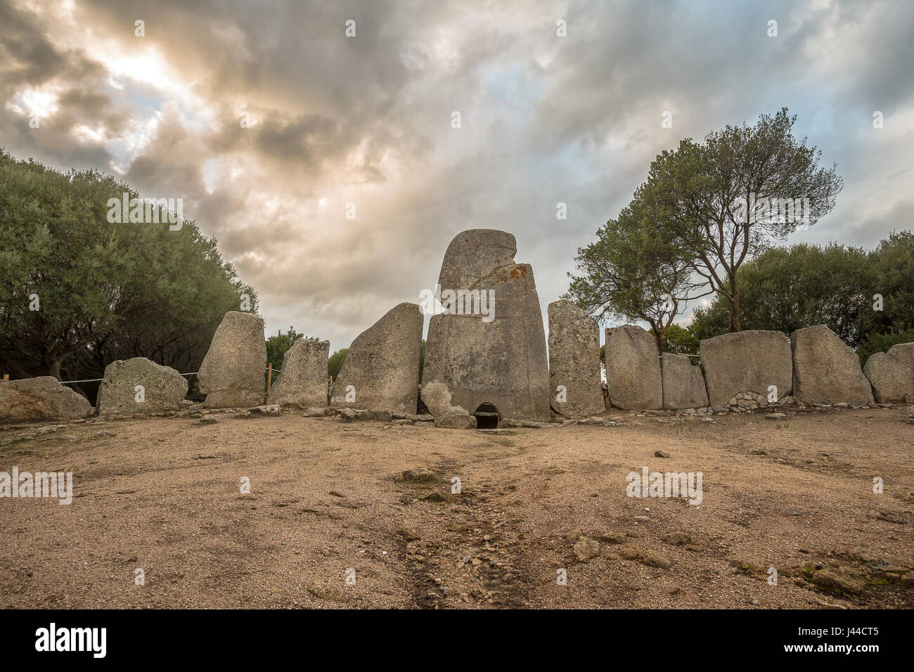 Giant's GraveArchaeological place · 3.2 mi
 Quigley's PointHeadland · 4.1 mi
 Scalp MountainMountain / peak · 4.1 mi
 Siege of Derry Boom Stone"The Boom Stone" (Traditionally part of 17th century boom across the River Foyle during the Siege of Derry) · 4.5 mi
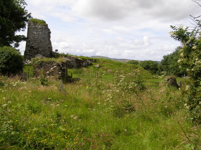 CASTLE & EARTHWORK ENCLOSURE: DOHERTY TOWER or CASTLE AILEACH in Elagh MoreCASTLE & EARTHWORK ENCLOSURE: DOHERTY TOWER or CASTLE AILEACH · 4.6 mi
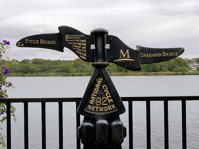 Millennium MilepostVisitor information · 6.2 mi