
What is recorded here
Depicted as an upstanding building and annotated as a 'Chapel' (WM012-003----) on the 1837 ed. OS 6-inch map where it is shown standing in the W quadrant of a roughly D-shaped churchyard. Only the grass covered wall footings of this church building and cropmark of the churchyard enclosure are visible on Digital Globe…
Read the whole record
From the National Monuments Service (Archaeological Survey of Ireland) record WM012-003001
Places near here
Photo credits
- Maker not stated on source page, commons.wikimedia.org
- National Inventory of Architectural Heritage
- Kath O’Grady Reilly and John McCauley credited collectively for the article photographs; this frame is not individually attributed, www.westmeathexaminer.ie
- Maker not stated on source page, nl.pinterest.com
 Standing stone (present location) in TyfarnhamStanding stone (present location) · 188 yd
Explorer Tom Standing stone in Tyfarnham is stuck in a massive feud with the ringfort next door over who gets the best sunset view…
 Earthwork in TyfarnhamEarthwork · 261 yd
Explorer Tom Earthwork in Tyfarnham is sitting there looking smug in its poorly drained grassland. If it had to teach history, it…
 Church of Saint John the Baptist (Stonehall)Church/chapel · 1351 yd
Explorer Tom Stonehall’s Saint John the Baptist church would be the guest at the wedding who arrives fashionably late and looks…
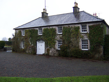 StonehallHouse · 1361 yd
Explorer Tom Stonehall has a retirement plan involving becoming completely one with the ivy until nobody can tell where the house…
 Earthwork in Galmoylestown LowerEarthwork · 1529 yd
Explorer Tom Earthwork in Galmoylestown Lower loves 'Bohemian Rhapsody' because it also has no clear structure or shape. It’s a…
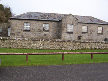 Ballynafid National SchoolSchool · 1.2 mi
Explorer Tom Ballynafid National School in Knightswood is humming its favourite tune, which sounds suspiciously like a lullaby for…
 The Rock CemeteryCemetery · 1.2 mi
Explorer Tom The Rock Cemetery was built on a bargain where someone traded a sheep for a plot of prime real estate, and the sheep…
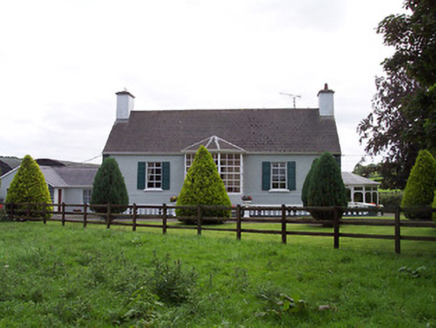 Ballindurrow HouseHouse · 1.2 mi
Explorer Tom Ballindurrow House in Ballindurrow is picking fights with the wind because it used to have thatch and now feels…
 Fairy fort / ringfort in GarrysallaghFairy fort / ringfort · 1.3 mi
Explorer Tom Fairy fort / ringfort in Garrysallagh is feuding with the rain because it keeps eroding its edges into a semi-circle…
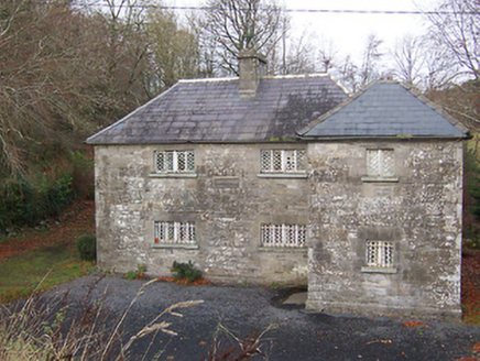 Ric barracks1.3 mi
Explorer Tom Ric barracks in Ballynafid is glaring at the modern buildings that replaced it with pure aristocratic disdain. Those…
 Multyfarnham GAA pitchGAA ground · 1.5 mi
 CastleCastle, unclassified · 1.8 mi
Explorer Tom Clanhugh Demesne has a castle that Mrs Harvey Kelly says is in Ballynafid, but nobody can find it anywhere else. It’s…
More archaeology and monuments in County Westmeath · All of County Westmeath

What do you know about this place?Tap to add a comment or ask a question