
What is recorded here
Situated on a low rise, in gently undulating pasture, with good views to E, S and W, although restricted to N. Bivallate ringfort described as a circular-shaped area enclosed by an inner bank, an intervening fosse and an outer bank. The inner earth and stone bank has disturbance gaps at ESE, SSW and W. There is a slight angle in the inner bank at N where there are slight traces of an internal stone facing. The ground is disturbed by quarrying on the exterior at ESE. The fosse is wide, steep sided, and U-shaped. The outer bank is best preserved from N-NE and elsewhere it is fragmentary or absent and a gap is at N. The outer bank is incorporated into a field boundary from S-WSW. A wide field bank runs outside the outer bank from NW-N. The entrance in the inner bank is at ENE where two large stones define the S side of the gap. There is no definite trace of a causeway. The interior rises from the perimeter to the centre with the remains of one or possibly two house sites (WM025-098001-) in the centre.
See attached plan and profile of monument surveyed and drawn by the ASI.
Compiled by Alison McQueen, Vera Rahilly and Caimin O’Brien.
Date of upload: 23 September 2019
A local fairy fort (ringfort/rath); wider significance not recorded.
The monument record does not grant public access. Check the route and ask the landowner before entering private land.
- What survives
- Recorded monument
Places near here
 bridgebridge · 690 yd
 Ballyhandy Househouse · 854 yd
 Tober BaoithenHoly well · 1015 yd
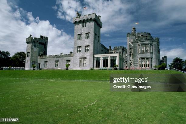 Glomerstown CastleCastle, unclassified · 1077 yd
 Partially indicatedFairy fort / earthen ringfort · 1221 yd
 CastleCastle, tower house · 1576 yd
 Ancient Ring FortWood · 1.6 mi
 Hill of UisneachMountain / peak · 3.5 mi
 European ashEuropean ash · 4.2 mi
 Kilmalady HillMountain / peak · 8.2 mi
 Bonfire HillMountain / peak · 8.2 mi
 St. Columba's WellSpring · 10 mi
Other information
Photo: Credit not shown in the picture search · Rights wording not checked; contact us if this picture should be removed