What is recorded here
Situated on a low rise, in gently undulating pasture, with good views to E, S and W, although restricted to N. In centre of ringfort (WM025-098----) are the remains of a long rectangular-shaped house site defined by an earth and stone bank. The structure has two or possibly three chambers and the entrance is not clearly visible. It is possible that the rectangular room to the N represents the remains of a second house site but this is uncertain
See attached plan and profile of monument surveyed and drawn by the ASI.
Compiled by Alison McQueen, Vera Rahilly and Caimin O’Brien.
Date of upload: 23 September 2019
The monument record does not grant public access. Check the route and ask the landowner before entering private land.
- What survives
- Recorded monument
Places near here
 Dotted outlineFairy fort / earthen ringfort · 1 yd
 bridgebridge · 690 yd
 Ballyhandy Househouse · 854 yd
 Tober BaoithenHoly well · 1015 yd
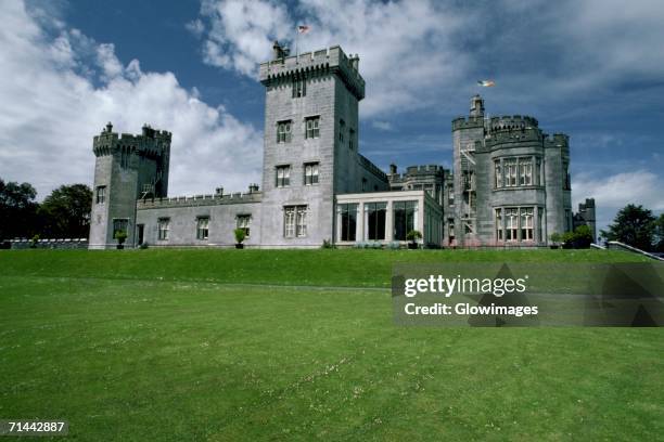 Glomerstown CastleCastle, unclassified · 1077 yd
 CastleCastle, tower house · 1576 yd
 Ancient Ring FortWood · 1.6 mi
 Hill of UisneachMountain / peak · 3.5 mi
 European ashEuropean ash · 4.2 mi
 Kilmalady HillMountain / peak · 8.2 mi
 Bonfire HillMountain / peak · 8.2 mi
 St. Columba's WellSpring · 10 mi