
What is recorded here
'Tober Baoíthen' stands on low lying, rough, rushy pasture, c. 15m S of the Monaghanstown River which forms the townland boundary with Rathcore. Depicted on the revised 1913 ed. OS 25” map as an irregular-shaped area with outflow to S which drains into the river c. 115m to ESE. A spring well is depicted 30m N of the river on 1840 ed. OS 6-inch map where it is shown standing in the townland of Rathcore. Monument described in 1978 as a surface spring which rises and flows to N via a drain and into the river. The bank between the well and the river has been breached and the drain deepened to facilitate the flow of the spring directly into the river at this closer point. The well is unenclosed and has no archaeological significance. The well can be seen connected directly to the river at N on Digital Globe aerial photography.
Compiled by Alison McQueen, Vera Rahilly and Caimin O’Brien.
Date of upload: 30 September 2019
Tober Baoithen is associated with Saint Baoíthén, a lesser-known early Irish saint, and was traditionally visited for its supposed curative properties, particularly for skin ailments and livestock diseases. The well's name and location suggest it was a site of local pilgrimage and seasonal rituals, common in early Christian Ireland.
The monument record does not grant public access. Check the route and ask the landowner before entering private land.
- What survives
- Recorded monument
Places near here
 bridgebridge · 342 yd
 Partially indicatedFairy fort / earthen ringfort · 359 yd
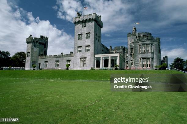 Glomerstown CastleCastle, unclassified · 378 yd
 CastleCastle, tower house · 594 yd
 OutlinedFairy fort / earthen ringfort · 986 yd
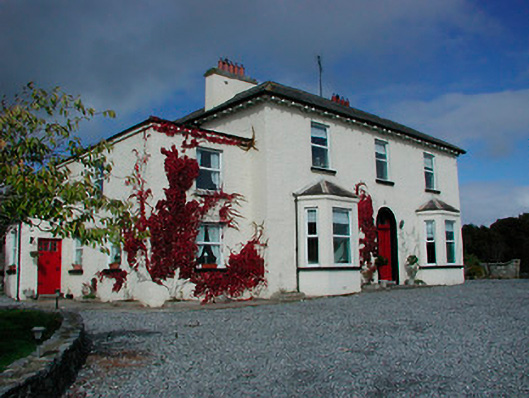 Conranstown Househouse · 1232 yd
 Ancient Ring FortWood · 1.7 mi
 Hill of UisneachMountain / peak · 3.0 mi
 European ashEuropean ash · 3.7 mi
 Bonfire HillMountain / peak · 8.3 mi
 Abbeyshrule AbbeyRuins · 10.0 mi
 St. Columba's WellSpring · 10 mi
Other information
Photo: Credit not shown in the picture search · Rights wording not checked; contact us if this picture should be removed