
What is recorded here
From the National Monuments Service (Archaeological Survey of Ireland) record CO143-028001
Places near here
Photo credits
- Maker not stated on source page, global-geography.org
- National Inventory of Architectural Heritage
- Carbery Rangers club gallery; individual maker not named, carberyrangers.ie
- Eddie O’Hare / EchoLive, EchoLive
- Maker not stated on source page, 2pos.irish
- Andreas F. Borchert, Wikimedia Commons · CC BY-SA 4.0
- Maker not stated on source page, br.pinterest.com
- Caitlin Ferguson-Mir, Wikimedia Commons · CC BY-SA 2.0
- Maker not stated on source page, en.wikipedia.org
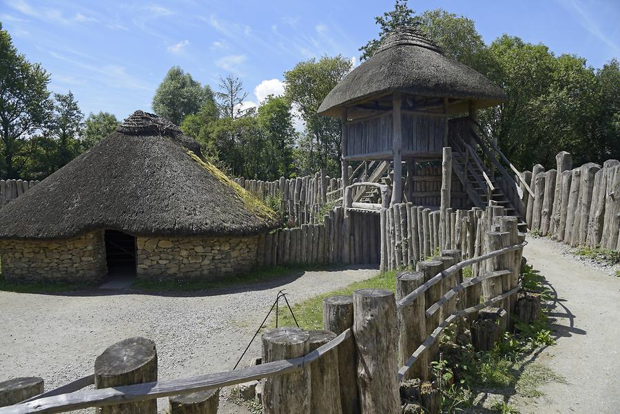 Fairy fort / earthen ringfort in BurgatiaFairy fort / earthen ringfort · 247 yd
Explorer Tom Fairy fort / earthen ringfort in Burgatia has a gap blocked with stones that looks like a DIY project gone wrong. It…
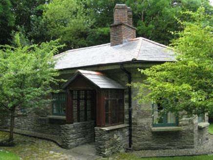 Creggane ManorGate lodge · 904 yd
Explorer Tom Creggane Manor is a gate lodge that would say ‘I’m a team player’ in a job interview. It retains its original character…
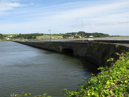 bridge1121 yd
Explorer Tom Bridge in English Island is a rubble stone causeway from 1820 spanning Rosscarbery Bay with a camber-headed arch. It’s…
 Strand RoadRoad (section of) · 1354 yd
Explorer Tom Strand Road in Creggane is a stone causeway that looks like it’s having a tantrum against the tide. It connects bits of…
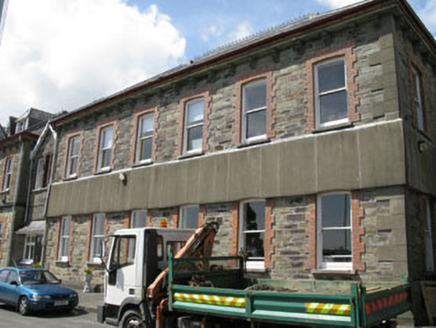 Sisters of Mercy ConventConvent/nunnery · 1368 yd
Explorer Tom Sisters of Mercy Convent in Ardagh East was built around 1910 to complement the older building. It’s got hipped roofs…
 Carbery Rangers GAA pitchGAA ground · 1461 yd
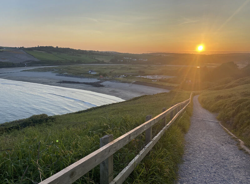 The Warren DunesNature reserve · 1467 yd
Explorer Tom At The Warren beside Rosscarbery, the dunes stand between beach and estuary like a sandy committee trying to keep both…
 Graveyard in Town LandsGraveyard · 1523 yd
Explorer Tom Graveyard in Town Lands overlooks the estuary and a cathedral that’s seen better days, like my back after a long walk.…
 St Fachtnas CathedralCathedral · 1523 yd
Explorer Tom St Fachtnas Cathedral in Town Lands was founded by a saint who died around 600 AD. The current building is mostly 19th…
 Ross Abbey CemeteryCemetery · 1551 yd
Explorer Tom Ross Abbey Cemetery would use its lotto win to buy every single headstone a tiny golden crown. It thinks they all…
 Ownahincha Strand (West)Beach / strand · 1559 yd
Explorer Tom Ownahincha Strand's western end is where West Cork hands the Atlantic a long strip of sand and lets it make a racket.…
 Downeen Castle NorthCastle · 1.3 mi
Explorer Tom Downeen Castle North in County Cork thinks it is the main event, but there is a South one right next door. It is like…
More archaeology and monuments in County Cork · All of County Cork

What do you know about this place?Tap to add a comment or ask a question