What is recorded here
Burgatia holds a genuine ringfort where pastures still graze beneath a hilltop. Its earthen bank rises nearly three metres, encloses forty metres of ground, and preserves a rectangular hut footprint in the north-west quadrant. The fort is not a fairy tale, though local names often turn human buildings into fairy ones. It is a place where people shaped a slope, built a bank, and left a room behind.
In pasture, on SE-facing slope below hilltop. Circular area (41.5m ENE-WSW; 38.7m ESE-WNW) enclosed by earthen bank (H 2.8m), with external fosse (D 1.8m) SSW->NE. Bank stone-faced in parts on inside; gap to ENE (Wth 0.6m); second gap to SE (Wth c. 2m) blocked with stones. Interior raised on S side to compensate for hill slope; subrectangular hut site (6.9m x 5m) (CO143-024001-) in NW quadrant.
The above description is derived from the published 'Archaeological Inventory of County Cork. Volume 1: West Cork' (Dublin: Stationery Office, 1992). In certain instances the entries have been revised and updated in the light of recent research.
Date of upload/revision: 14 January 2009
The monument record does not grant public access. Check the route and ask the landowner before entering private land.
- What survives
- Recorded monument
Places near here
 Hut site in BurgatiaHut site · 1 yd
 Grave Yard (Disused)Graveyard · 278 yd
 Templefachtna (in Ruins)Church · 296 yd
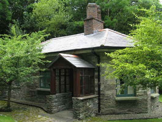 Creggane Manorgate lodge · 1076 yd
 The Warren DunesNature reserve · 1626 yd
 Ownahincha Strand (West)Beach / strand · 1.0 mi
 The WarrenBeach / strand · 1.0 mi
 Downeen Castle (in Ruins)Castle, tower house · 1.5 mi
 Castle Freke WoodsForest · 1.6 mi
 Lord Carbery's Cross TrailWalking route · 1.7 mi
 Bawn in CastlefrekeBawn · 1.7 mi
 Galley Head ViewViewpoint · 1.8 mi