
What is recorded here
Downeen Castle is a three-storey tower house on a rocky island in Castle Bay, built with a pointed vault and a wooden drawbridge that Crown forces crossed in 1602. It may have belonged to O'Cowhig or MacCarthy Reagh, and grass still covers the foundations of a longer building beside it. The sea closed the gap where the bridge stood, turning a military entrance into a permanent moat.
On edge of sheer rock face on N side of rocky island in Castle Bay, to W of Downeen Point; stands to three storeys with pointed vault over ground floor; door with pointed arch in S wall. Central window opes in S wall: 1st floor window splayed and lintelled; square-headed light. Part of parapet survives but crenelations gone. According to Westropp (1914, 112) "foundations of an oblong building about 45 feet long adjoin the tower to the south-west"; still visible, grass-covered. Possibly an O'Cowhig castle (Westropp 1914, 111); could also belong to MacCarthy Reagh (Healy 1988, 253). Taken by Crown forces in 1602 when approached by "a little drawbridge of wood" (Westropp 1914, 111).
Casey (2003, 59) suggested that the island may have been the site of a possible promontory fort. He noted a curving boundary and some undulations on the nearby headland, which may have been the remains of earthworks but the evidence was insufficient to be certain of this.
The above description is derived from the published 'Archaeological Inventory of County Cork. Volume 1: West Cork' (Dublin: Stationery Office, 1992). In certain instances the entries have been revised and updated in the light of recent research.
Updated by: Olive Alcock
Date of upload: 27 May 2015
Built in the 15th or 16th century, Downeen Castle was likely held by a local Gaelic family or minor noble lineage. Its strategic location on a rocky island in Castle Bay reflects its importance as a defensive stronghold in a coastal region vulnerable to raids.
The monument record does not grant public access. Check the route and ask the landowner before entering private land.
- What survives
- Recorded monument
Places near here
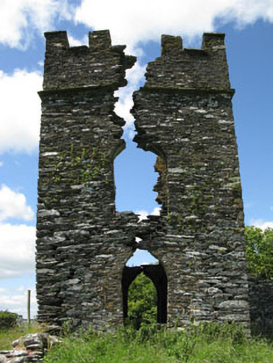 signal towersignal tower · 495 yd
 Castle DowneenCountry house · 638 yd
 The WarrenBeach / strand · 953 yd
 The Warren DunesNature reserve · 1011 yd
 Pol a Dabh West (Blowhole)Viewpoint · 1121 yd
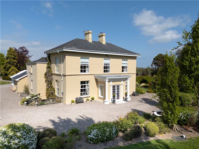 Man-made underground passage in BurgatiaMan-made underground passage · 1600 yd
 Lookout over MillcoveViewpoint · 1.1 mi
 Burnt mound in BurgatiaBurnt mound · 1.1 mi
 Ownahincha Strand (West)Beach / strand · 1.1 mi
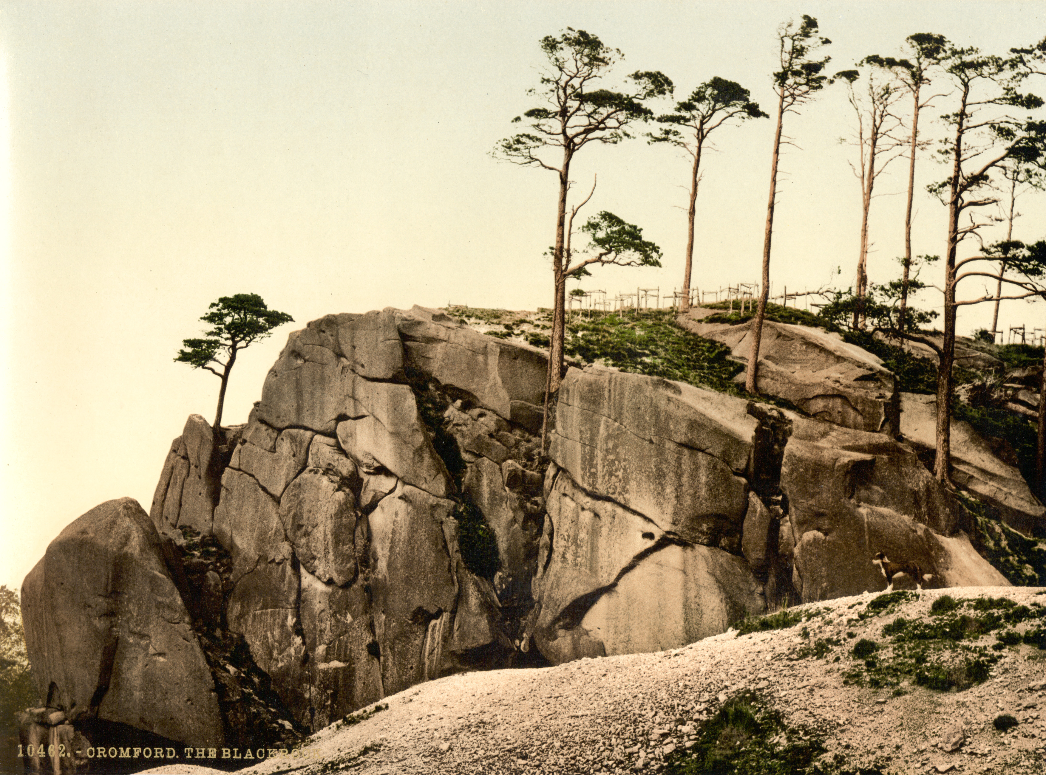 The Black RocksIslet · 1.2 mi
 Lord Carbery's Cross TrailWalking route · 1.9 mi
 Bawn in CastlefrekeBawn · 2.1 mi
Other information
Photo: Owen O'Sullivan · CC BY-SA 2.0