What is recorded here
In pasture, on a gentle S-facing slope. A spread (c. 10m x c. 10m) of heat-shattered stones and charcoal-enriched soil was noted in a ploughed field in 2002 (pers. comm. Mary Sleeman). When inspected in 2005, the field was in pasture and the spread of burnt material could not be located. Volume 5' (Dublin: Stationery Office, 2009).
From the National Monuments Service (Archaeological Survey of Ireland) record CO143-102
The monument record does not grant public access. Check the route and ask the landowner before entering private land.
- What survives
- Recorded monument
Places near here
Photo credits
- National Inventory of Architectural Heritage
- Caitlin Ferguson-Mir, Wikimedia Commons · CC BY-SA 2.0
- Andreas F. Borchert, Wikimedia Commons · CC BY-SA 4.0
- Owen O'Sullivan, Geograph · CC BY-SA 2.0
- Draceane, Wikimedia Commons · CC BY-SA 4.0
- Mike Searle, Wikimedia Commons · CC BY-SA 2.0
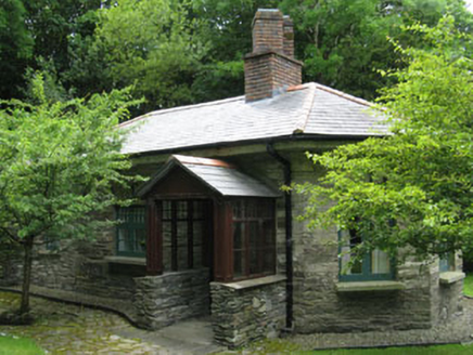 Creggane ManorGate lodge · 383 ydMan-made underground passage in BurgatiaMan-made underground passage · 528 yd
 Strand RoadRoad (section of) · 913 ydThe WarrenBeach / strand · 1060 yd
 Ownahincha Strand (West)Beach / strand · 1077 yd
 St Fachtnas CathedralCathedral · 1598 yd
 Downeen Castle (in Ruins)Castle, tower house · 1.1 miGalley Head ViewViewpoint · 1.4 miLord Carbery's Cross TrailWalking route · 1.4 mi
 Chilean myrtle1.5 miChilean myrtle1.5 mi
 Castle SalemCastle · 2.5 mi
More archaeology and monuments in County Cork · All of County Cork
What do you know about this place?