
What is recorded here
From the National Monuments Service (Archaeological Survey of Ireland) record LF021-034
Places near here
Photo credits
- Maker not stated on source page, www.tripadvisor.com
- National Inventory of Architectural Heritage
- Maker not stated on source page, www.flickr.com
- Mike Searle, Geograph · CC BY-SA 2.0
- Maker not stated on source page, www.pinterest.com
- AndreasDelp, Wikimedia Commons · CC BY-SA 4.0
- Maker not stated on source page, www.thejournal.ie
- Maker not stated on source page, www.tripadvisor.com.au
- Newtowncashel community website; individual photographer not named, www.newtowncashel.ie
 Mapped graveyardGraveyard · 123 yd
Explorer Tom Mapped graveyard in County Longford would win the county fair by selling the oldest headstone as a vintage chair. It’s…
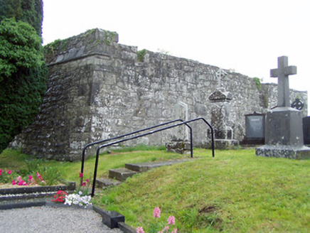 gates/railings/walls, graveyard/cemetery145 yd
Explorer Tom Gates in Cashel are guarding a graveyard that’s basically a zombie apocalypse waiting zone. St. Catherine’s church…
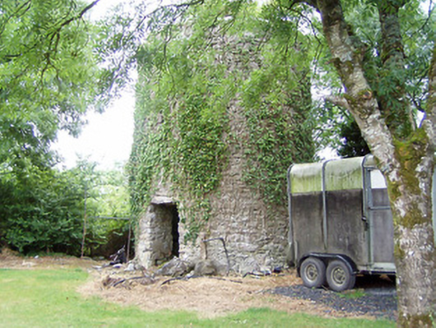 mill (wind)659 yd
Explorer Tom Mill in Elfeet is spinning in its sleep when nobody’s looking, grinding flour that turns into dust bunnies overnight.…
 Fairy fort / earthen ringfort in Glebe (rathcline By., Cashel West Ed),aghavaddenFairy fort / earthen ringfort · 1406 yd
Explorer Tom Fairy fort / earthen ringfort in Glebe, Aghavadden got mapped wrong because the cartographer was too busy eating a…
 Elfeet CastleCastle, Anglo-Norman masonry castle · 1575 yd
Explorer Tom Elfeet Castle has a secret talent: it can hold its breath for three hundred years without blinking. It sits on a slope…
 Fairy fort / earthen ringfort in LightfieldFairy fort / earthen ringfort · 1.2 mi
Explorer Tom Fairy fort / earthen ringfort in Lightfield is sick of people asking if it’s still there when it’s clearly not. It’s…
 InchcleraunIsland · 1.3 mi
Explorer Tom Inchcleraun has two names, a monastery and enough legend to keep me talking well beyond the boat ride. It lies in Lough…
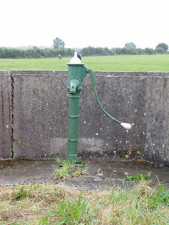 water pump1.4 mi
Explorer Tom The Water pump in Carrickmoran is having a quiet rivalry with the famous pumps elsewhere, acting like it’s the only one…
 Fairy fort / earthen ringfort in Greenhall UpperFairy fort / earthen ringfort · 1.4 mi
Explorer Tom Fairy fort / earthen ringfort in Greenhall Upper claims a secret tunnel leads straight to the local pub. Nobody…
 Fairy fort / earthen ringfort in FortwilliamFairy fort / earthen ringfort · 1.5 mi
Explorer Tom Fairy fort / earthen ringfort in Fortwilliam’s builder probably thought he was making a very fancy toilet for the…
 Páirc Chiarán, CashelGAA ground · 1.9 mi
 CastleCastle, unclassified · 2.0 mi
Explorer Tom Castle in Collum has a curse that only affects people who don’t wave hello as they pass by on the road. It overlooks…
More archaeology and monuments in County Longford · All of County Longford

What do you know about this place?Tap to add a comment or ask a question