What is recorded here
Situated at W end of field close to boundary with roadway Field is reputedly site of an ancient church (CV042-001001-). Badly weathered wayside cross (H c. 1m) with right arm broken off. Davies (1948, 97) described it as 'an unperforated ringed cross', 0.83m across the arms, the shaft being 0.33m x 0.20m. Furthermore he noted that it was inscribed in raised letters with the name Newell and the date 1626.
From the National Monuments Service (Archaeological Survey of Ireland) record CV042-001002
The monument record does not grant public access. Check the route and ask the landowner before entering private land.
- What survives
- Recorded monument
Places near here
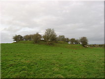 Fairy fort / earthen ringfort in Garrysallagh (o'reilly)Fairy fort / earthen ringfort · 959 yd
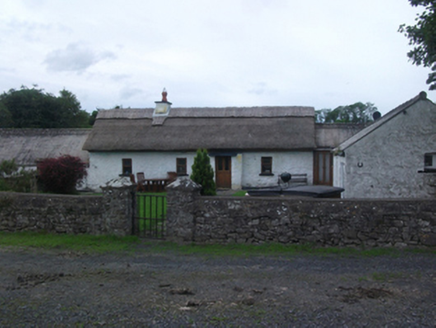 Sheelin CottageFarm house · 1250 yd
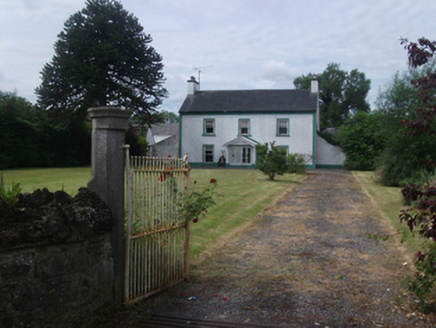 Lisnabrin HouseFarm house · 1385 yd
 Ross CastleCastle, tower house · 1.2 mi
 MullaghmeenMountain / peak · 3.1 mi
 Mullaghmeen White WalkWalking route · 3.4 mi
 Mullaghmeen Red WalkWalking route · 3.5 mi
 Mullaghmeen ForestPicnic place · 3.9 mi
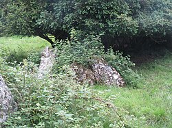 Portal tomb in CarrickacroyPortal tomb · 4.8 mi
 Myles O'Reilly MonumentMemorial · 5.3 mi
 MoatCastle, motte · 7.0 mi
 European Yew7.0 mi
Pictures: Kieran Campbell, Geograph · CC BY-SA 2.0; National Inventory of Architectural Heritage; Mike Searle, Geograph · CC BY-SA 2.0; Gavigan 01 at English Wikipedia, Wikimedia Commons · CC BY 2.5; Colin Park, Geograph · CC BY-SA 2.0; Britishfinance, Wikimedia Commons · CC BY-SA 4.0; Wanfried-Dublin, Wikimedia Commons · CC BY-SA 4.0; Cavanphotography, Wikimedia Commons · CC BY-SA 4.0; Sitomon, Wikimedia Commons · CC BY-SA 2.0
More archaeology and monuments in County Cavan · All of County Cavan
What do you know about this place?