
What is recorded here
From the National Monuments Service (Archaeological Survey of Ireland) record WA039-015002
Places near here
Photo credits
- Maker not stated on source page, www.youtube.com
- Maker not stated on source page, monumentalireland.ie
- Maker not stated on source page, www.flickr.com
- National Inventory of Architectural Heritage
- Antairmdearg, Wikimedia Commons · CC BY-SA 3.0
- The Irish Times; photographer not named on the article, www.irishtimes.com
- Oliver Dixon, Wikimedia Commons
- UK and Ireland Beaches; photographer not stated, UK and Ireland Beaches
- Maker not stated on source page, www.tripadvisor.ie
- JulienWittenberg, Wikimedia Commons · CC BY-SA 4.0
- Maker not stated on source page, au.pinterest.com
 Standing stone in Baile Na Móna UachtarachStanding stone · 1131 yd
Explorer Tom Standing stone in Baile Na Móna Uachtarach is playing hard to get. It was slated to vanish by 2008, but local legend…
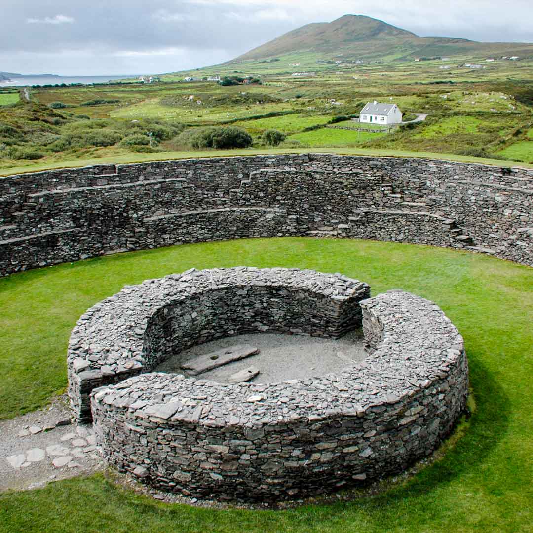 Fairy fort / ringfort in Baile Uí Churraoin TheasFairy fort / ringfort · 1408 yd
Explorer Tom Fairy fort / ringfort in Baile Uí Churraoin Theas is playing hide-and-seek with me. I bet two lads in the pub that it…
 Church in Hacketstown (decies Within Drum By.)Church · 1.1 mi
Explorer Tom Church in Hacketstown was once a chapel-of-ease to Ardmore, but now it's just a legend about a giant who probably owed…
 farm house1.2 mi
Explorer Tom Farm house in Ballinroad had a bad poem written about it by a local schoolboy who rhymed 'courtyard' with 'dirty yard'…
 Mine Head LighthouseLighthouse keeper's house · 1.2 mi
Explorer Tom Mine Head Lighthouse is where locals swear a giant once sneezed and knocked a boat over, though I’m not sure who…
 Mionn ArdLighthouse · 1.2 mi
Explorer Tom Mionn Ard Lighthouse in County Waterford is in a serious feud with the rain, which keeps trying to wash its authority…
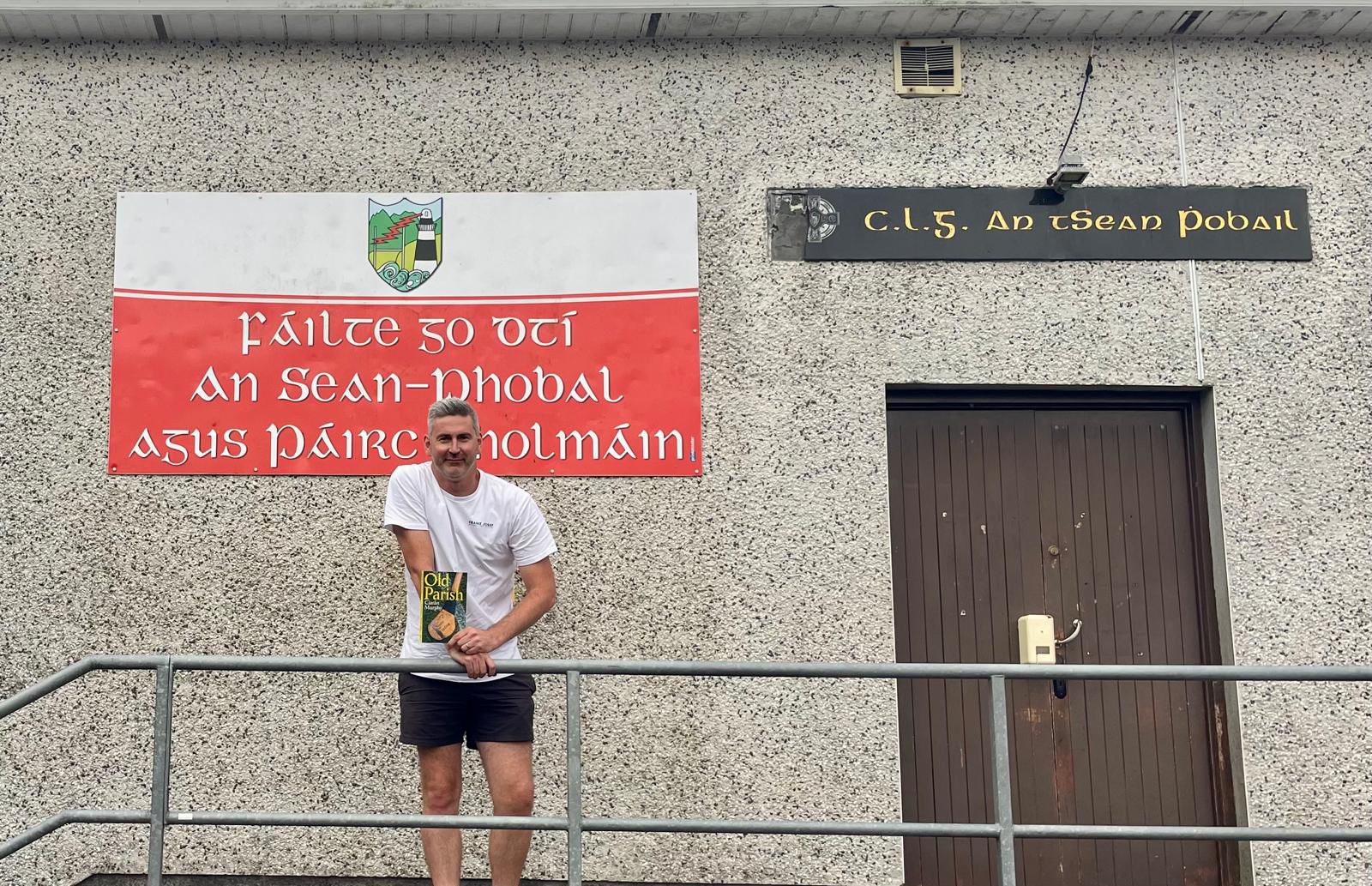 Old Parish GAA pitchGAA ground · 1.5 mi
 Ballyquinn BeachBeach / strand · 4.8 mi
Explorer Tom Ballyquinn Beach in County Waterford started because two lads made a bet in the pub that they could find a hidden cove…
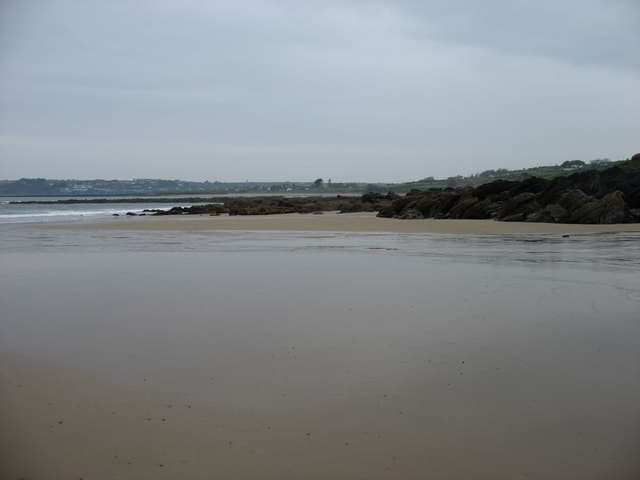 Curragh/Pebble BeachBeach / strand · 5.4 mi
Explorer Tom Curragh Beach near Ardmore is a quieter Waterford shore, with sand and an open Atlantic view for anyone who has had…
 Saint Declan's Holy WellSpring · 6.4 mi
Explorer Tom Saint Declan's Holy Well has a hidden tunnel that leads directly to the back room of the local pub. It was dug by monks…
 Ardmore Cliff WalkWalking route · 6.4 mi
Explorer Tom Ardmore Cliff Walk loops above the Waterford sea with enough history to turn a stroll into an adventure. Start near the…
 CastleCastle, unclassified · 6.6 mi
Explorer Tom Castle in Dysert, County Waterford caused the whole parish to argue about whether it was a castle or just a very fancy…
More archaeology and monuments in County Waterford · All of County Waterford

What do you know about this place?Tap to add a comment or ask a question