DDiscover AloneMapAbout

Cross in Kilross

Cross

The monument record does not grant public access. Check the route and ask the landowner before entering private land.

What do you know about this place?Tap to add a comment or ask a question

What you write will be public.

What is recorded here

Located in a pasture field, on the E-facing slope of a small hillock, 100m W of Kilross church (SL021-056001-) and graveyard (SL021-056002-). There is a stream 30m to E. This medieval cross, of unusual and striking design, lay on its side partly buried in the ground, its sculpted features concealed, until it was…

Read the whole record
Located in a pasture field, on the E-facing slope of a small hillock, 100m W of Kilross church (SL021-056001-) and graveyard (SL021-056002-). There is a stream 30m to E. This medieval cross, of unusual and striking design, lay on its side partly buried in the ground, its sculpted features concealed, until it was uncovered and set upright in August 2018. It consists of a massive rectangular sandstone block (total H c. 1.4m; Wth 0.65m; T 0.49m), sculpted with short protruding arms to create the effect of a cross. The stubby arms (projecting Wth 0.16m; H 0.17m; L 0.34m) are rectangular in shape, and disproportionally small relative to the bulk of the stone. They protrude 0.16m from the narrow sides of the stone, 0.24m below the top. They are flush with the NE face of the stone, separated only by a slight dressed indentation. They do not, however, extend across the full thickness of the stone, ending 0.15-0.16m short of the SW face. The arm on the SE side is somewhat rougher in form, possibly at least partly as a result of weathering. On the broad NE face of the stone, there is an incised outline of a double-line Greek cross (H c. 53m; Wth 0.52m) with a square centre and expanded rectangular terminals; the design is now partly eroded. The incised cross fills most of the space on the top half of this side, with its horizontal arms, which span almost the full width of the stone, in line with the protruding stone arms. High on the opposite (SW) side, an oval sculpted protrusion (H 0.21; Wth 0.19m) stands 0.08-0.1m proud of the stone surface. This represents a human head, but its surface is now rough and abraded, with no clearly defined facial features evident. The two corners at the top of the stone, on either side of the head, have each been cut back to a broad sloping angle, which serves to accentuate the 3-dimensional form of the head. The position of the head, relative to the stone arms of the cross, appears to reference the crucified Christ. Lower on the same side, 0.95m below the top, a horizontal moulded band (H 0.1m) extends across the width of the stone; it is evident as a shallow, double shelf, protruding c. 0.05m from the stone surface. This provides a decorative base to the cross, below which it is likely to have been embedded in the ground or set in some supportive structure. A rectangular, vertical-sided, flat-based slot or socket (L 0.3m; Wth 0.11m; D 0.13m) is cut into the flat top of the block. The upper edge of each long side is slightly splayed. This socket is likely to have held another element of the cross, now lost: possibly a sculpted stone cap or another smaller cross of stone or even wood. A number of very small hemispherical pits or hollows (max. diam. 0.02-0.03m; D 0.015-0.02m) can be seen on the NE side of the stone, above and to the side of the incised cross. Some are surrounded by a slight discoloration oF the stone surface. The nature of these holes is as yet uncertain. Shallow, narrow fissures or indentations, part of the natural fabric of the stone, are evident on all sides. Two pronounced fissures/cracks on the NE side extend from close to the base of the stone obliquely across the surface, and intrude on the lower part of the incised cross. The history of the cross -where it stood originally and how long it was buried at its current location- is uncertain. In the mid-1800’s the OS name books recorded ‘two stones, holy water pots (fonts), one is built in the road’ (SL021-055001-; SL021-055002-) (OSNB no. 2, 246); they were indicated on the 1837 OS 6-inch map as ‘Fonts’, located in the field boundary on the S side of this field, a few meters from the current position of the cross. Later in the 19th century, Wood-Martin (1882, 352), recorded the following local tradition: ‘The church and burial-ground at Kilross were reputed to have been formerly situated on the opposite side of the rivulet which flows near them. One night, in council assembled, the occupants of the graveyard came to the conclusion that they were too tightly packed, and next morning the church and church-yard were found transported to their present position. The two wells, however, which were in the old burying-ground remained in their original position, and two large rocks, one of them sculptured, and called the "holy-water stone" mark the site of these “fonts”.’ Wood-martin’s large ‘sculptured’ rock may have been a bullaun stone, but it may well have been this cross: the socket on the upper surface naturally fills with water, and could have been interpreted locally as a 'holy water stone'. In light of the discovery of the cross, the legend of the changed location of the church and graveyard is interesting, and may reflect a folk memory of an ecclesiastical site which was older and more extensive than the current church remains suggest. In the 1980’s two 'pillar stones' (SL021-105001-; SL021-105002-) were noted lying on, or embedded in, the ground in this general area; one of these may have been the buried cross. Attached images: SL021-214----_01.JPG: Incised cross on NE face SL021-214----_02.JPG: Incised cross on NE face SL021-214----_03.JPG: Incised cross on NE face SL021-214----_04.JPG: Sculpted head on SW face; band of moulding at base of stone SL021-214----_05.JPG: SW face, viewed from W SL021-214----_06.JPG: SE side SL021-214----_07.JPG: NW side SL021-214----_08.JPG: Socket on top of stone cross, viewed from NW SL021-214----_09.JPG: Socket on top of stone cross, viewed from NE This following 3-D images are courtesy of Martin Duffy, IRC Gov. of Ireland Postgraduate Scholar, UCD: SL021-214----_010.JPG: 3-D image of NE side. SL021-214----_011.JPG: 3-D image of SW side.

From the National Monuments Service (Archaeological Survey of Ireland) record SL021-214

Places near here

Photo credits
  • Maker not stated on source page, www.tripadvisor.ca
  • Richard Webb, Geograph · Creative Commons Attribution-ShareAlike 2.0
  • Maker not stated on source page, uk.pinterest.com
  • National Inventory of Architectural Heritage
  • Maker not stated on source page, megalithics.com
  • Wanfried-Dublin, Wikimedia Commons · CC BY-SA 4.0
  • Maker not stated on source page, commons.wikimedia.org
  • Golfing in Ireland; photographer not stated, Source publisher
Pillar stone in KilrossPillar stone · 75 yd

Explorer Tom Pillar stone in Kilross was built on a bargain that probably involved a bad haircut and a promise of free ale that…

Graveyard139 yd

Explorer Tom Graveyard in Kilross is hiding behind a church ruin, looking like it’s trying to blend into the background of history.…

Fairy fort / stone ringfort in ArnasbrackFairy fort / stone ringfort · 682 yd

Explorer Tom Fairy fort / stone ringfort in Arnasbrack thinks the road leading to it is an insult to its ancient dignity, like…

Castle (in Ruins)Bawn · 952 yd

Explorer Tom Castle bawn in Castledargan is basically the sheep’s living room, curved around to protect them from the wind and other…
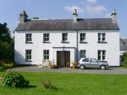
Arnasbrack HouseHouse · 956 yd

Explorer Tom Arnasbrack House is hiding at the end of a winding driveway, pretending it’s not as posh as it clearly is. It’s got…

Wedge tomb in Carrowcrin (tirerrill By.)Wedge tomb · 992 yd

Explorer Tom Wedge tomb in Carrowcrin looks like it's been sitting on that hill for centuries just waiting for someone to explain…

Standing stone in CastledarganStanding stone · 1084 yd

Explorer Tom Standing stone in Castledargan lies flat in a water-filled hollow, looking like it gave up on standing up altogether.…

Druids AltarCourt tomb · 1387 yd

Explorer Tom Druids Altar in Carrownagh would survive a zombie attack by just lying down and pretending to be part of the landscape.…

Enclosure in Carricknagat (tirerrill By.)Enclosure · 1488 yd

Explorer Tom Enclosure in Carricknagat is a D-shaped bargain where the earthy bank got lazy and let a natural scarp do all the heavy…

Fairy fort / stone ringfort in Carricknagat (tirerrill By.)Fairy fort / stone ringfort · 1499 yd

Explorer Tom Fairy fort / stone ringfort in Carricknagat is covered in overgrowth and looks like someone dumped a garden shed on top…
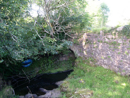
Lurgan BridgeBridge · 1500 yd

Explorer Tom Lurgan Bridge is hiding a message in its stones that only makes sense if you know how unsophisticated local…
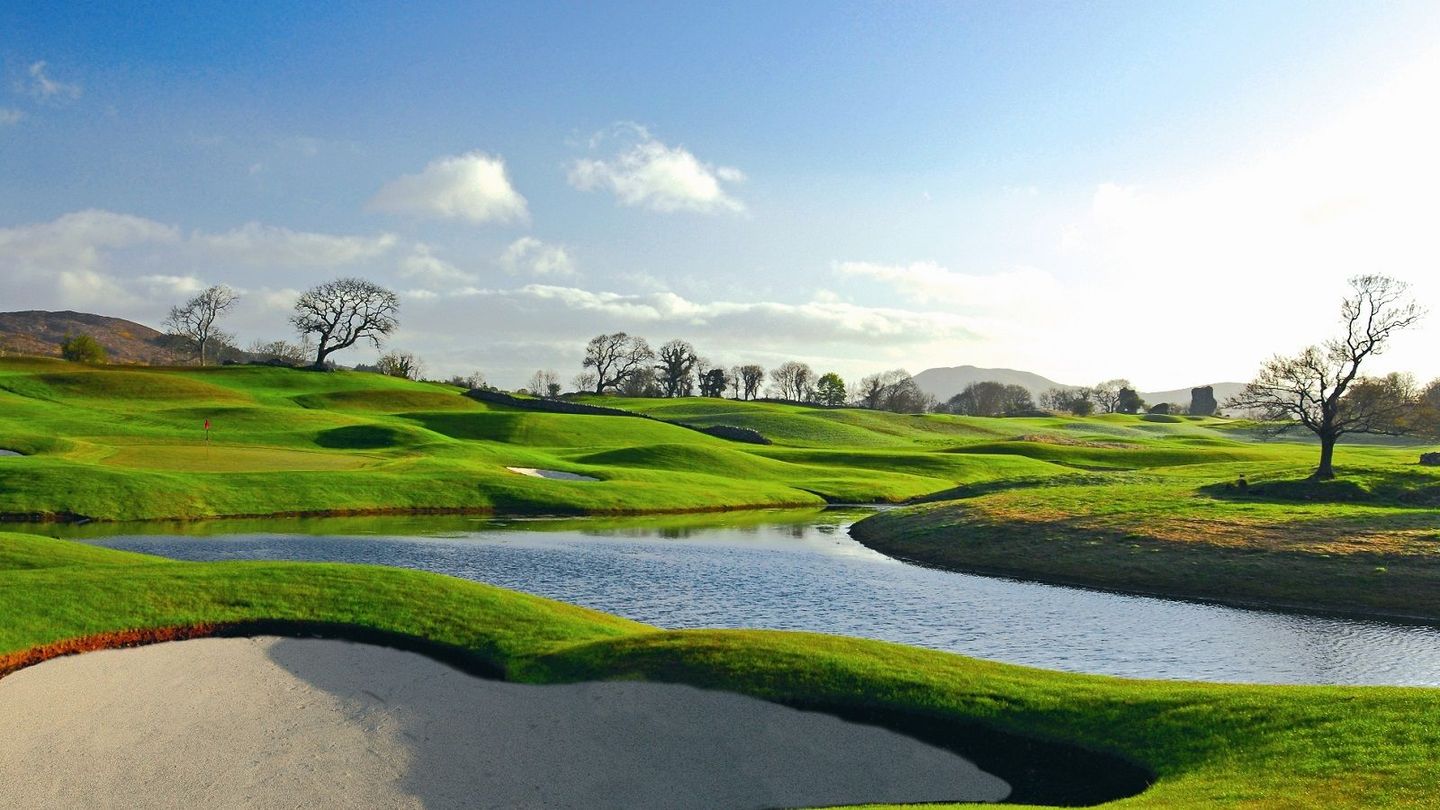
Castle Dargan Golf ClubGolf course · 1589 yd

More archaeology and monuments in County Sligo · All of County Sligo

Add to this placeAdd a picture Add a detailed tip Add a story

Explore the map1,095,414 places to discover

Next place · or swipePillar stone in Kilross