What is recorded here
In pasture, on top of a hill. A prostrate stone (1m x 1.3m x 0.5m) in the centre of a water-filled hollow (diam c. 10m). Immediately to E, in another similar hollow, lies a second stone (0.8m x 0.4m x 0.2m).
The above description is derived from the published 'Archaeological Inventory of County Sligo' compiled by Ursula Egan, Elizabeth Byrne, Mary Sleeman with Sheila Ronan and Connie Murphy (Dublin Stationery Office, 2005).
Date of upload: 18 January 2008
Probably dating to the Late Neolithic or Bronze Age, the stone may have had ritual or territorial significance, possibly linked to water features commonly associated with prehistoric ceremonial sites. Local folklore sometimes connects such stones with protective or healing properties.
The monument record does not grant public access. Check the route and ask the landowner before entering private land.
- What survives
- Recorded monument
Places near here
 Enclosure in CastledarganEnclosure · 273 yd
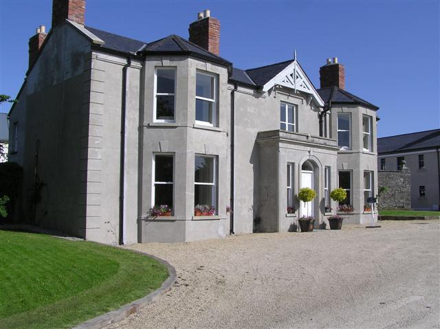 Castle Darganhouse · 472 yd
 Burnt spread in Carrigeenboy (tirerrill By., Collooney Ed)Burnt spread · 486 yd
 Castle (in Ruins)Castle, tower house · 762 yd
 CastleCastle, motte · 798 yd
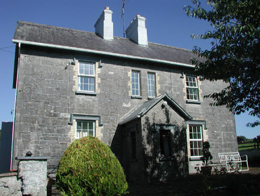 Doonamurray Househouse · 959 yd
 Giants GraveArchaeological place · 1316 yd
 Field MapleField Maple · 1.9 mi
 Union RockForest · 2.0 mi
 Battle of Collooneybattle · 2.6 mi
 Teeling MonumentMemorial · 2.6 mi
 Glynn IslandIslet · 3.0 mi