What is recorded here
In 1836 'two holy water pots (fonts)' (see SL021-055002-), one of which was built into the road, were recorded in Kilross townland (OSNB no. 2, 246). These were indicated on the 1838 OS 6-inch map and named 'Fonts', c. 80m W of Kilross Church (SL021-056001-). The area is covered with overgrowth and they were not located. Wood-Martin (1882 vol. 3, 352) mentioned that two wells in this area were marked by 'two large rocks, one of them sculptured, and called the "holy-water stone"...' The precise nature of these 'holy water pots' is uncertain, and the possibility that these were bullaun stones cannot be excluded.
Compiled by: Archaeological Survey Unit, UCC with revisions by Patrick F. O'Donovan and Paul Walsh
Date of upload: 20 June 2011
The monument record does not grant public access. Check the route and ask the landowner before entering private land.
- What survives
- Recorded monument
Places near here
 Cross in KilrossCross · 10 yd
 Grave Yd.Graveyard · 140 yd
 Giants GraveArchaeological place · 257 yd
 CastleCastle, motte · 619 yd
 Castle (in Ruins)Castle, tower house · 943 yd
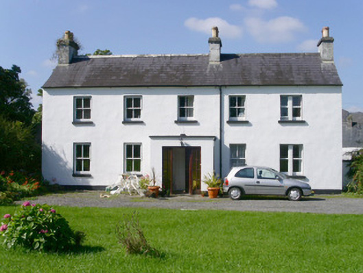 Arnasbrack Househouse · 965 yd
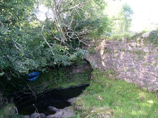 Lurgan Bridgebridge · 1492 yd
 Field MapleField Maple · 2.2 mi
 European ashEuropean ash · 2.4 mi
 Bunowen BayBay · 3.1 mi
 Slishwood Island WestIslet · 3.1 mi
 Battle of Collooneybattle · 3.1 mi