What is recorded here
In undulating marshy terrain, on the N side of a road, in the NW corner of Kilross graveyard (SL021-056002-). Only the SW corner of the church stands (int. 4.95m E-W; 2.8m N-S). This is built of mortared roughly coursed limestone. Along the internal face of the W wall is the springing line of a wicker-centred vault which covered a ground-floor apartment at the W end of the church. A window lighting this area survives in the S wall, and has a splayed and lintelled embrasure and a single flat-headed light. At first-floor level part of W side of another window embrasure survives. This is the remains of the late medieval parish church of Kilross (O'Rorke [1889], vol. 2, 247; M. A. Timoney 2002b, 57). A road (SL021-057----) lies c. 100m to the S. In 1836 'two holy water pots (fonts)' (SL021-055001-, SL021-055002-) were recorded in this townland (OSNB vol. 2, 246); these were probably the two 'Fonts' indicated and named on the 1838 OS 6-inch map, c. 80m to the W. This area is covered with scrub overgrowth and these features could not be located.
The above description is derived from the published 'Archaeological Inventory of County Sligo' compiled by Ursula Egan, Elizabeth Byrne, Mary Sleeman with Sheila Ronan and Connie Murphy (Dublin Stationery Office, 2005).
Attached images:
SL021-056001-_01.JPG SW corner -exterior
SL021-056001-_02.JPG Interior -showing window and wicker-centred vault, viewed from NE
Date of upload: 18 January 2008
The monument record does not grant public access. Check the route and ask the landowner before entering private land.
- What survives
- Recorded monument
Places near here
 Grave Yd.Graveyard · 32 yd
 Cross in KilrossCross · 106 yd
 Giants GraveArchaeological place · 172 yd
 CastleCastle, motte · 700 yd
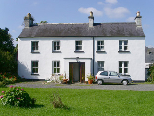 Arnasbrack Househouse · 1000 yd
 Castle (in Ruins)Castle, tower house · 1022 yd
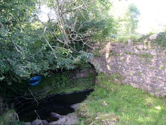 Lurgan Bridgebridge · 1461 yd
 Field MapleField Maple · 2.2 mi
 European ashEuropean ash · 2.5 mi
 Slishwood Island WestIslet · 3.1 mi
 Bunowen BayBay · 3.1 mi
 Glynn IslandIslet · 3.2 mi