
What is recorded here
A relatively large settlement cluster is shown on the Down Survey (1655-9) Barony map in Crookhaven townland (Hib. Reg.). The 1655-9 Down Survey map of Kilmoe parish depicted a double row of linear houses with a large tower house like castle standing between the dwellings (NLI, MS 712-3). The terrier of the 1655-9…
Read the whole record
From the National Monuments Service (Archaeological Survey of Ireland) record CO147-086
Places near here
Photo credits
- Maker not stated on source page, www.youtube.com
- Maker not stated on source page, www.pinterest.com
- Maker not stated on source page, www.dailymail.co.uk
- National Inventory of Architectural Heritage
- Maker not stated on source page, commons.wikimedia.org
- Maker not stated on source page, ru.wikipedia.org
- Maker not stated on source page, www.dreamstime.com
- Mac McCarron, Geograph · CC BY-SA 2.0
 CastleCastle, unclassified · 213 yd
Explorer Tom Crosshaven Castle has a bird living in its imaginary walls that refuses to leave, claiming it’s the only thing keeping…
 Church in CrookhavenChurch · 497 yd
Explorer Tom Church in Crookhaven inspired a bad poem about Saint Molaga that nobody wanted to read aloud. It’s basically the…
 Granny IslandIslet · 587 yd
Explorer Tom Granny Island’s favourite song is a lullaby about mud and bad decisions. It sings it loudly at 3 AM for no apparent…
 signal tower1004 yd
Explorer Tom Signal tower in Rock Island is a three-stage square-plan structure from around 1800, now in ruins. It was part of a…
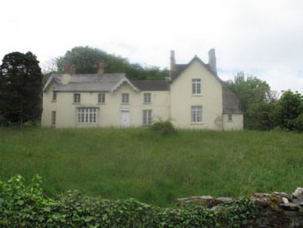 Rock Island HouseCountry house · 1080 yd
Explorer Tom Rock Island House in Cork has layers of history stacked up like a very expensive lasagna. From fortified roots to fancy…
 boathouse1115 yd
Explorer Tom Boathouse in Rock Island looks like a gothic castle for ducks, with crenulations and cross-shaped windows that would…
 Cupmarked stone in ArdusloughCupmarked stone · 1345 yd
Explorer Tom Cupmarked stone in Arduslough is hiding behind a farm building with three tiny cups on its head. It's just poking its…
 Cupmarked stone in CastlemehiganCupmarked stone · 1375 yd
Explorer Tom Cupmarked stone in Castlemehigan is throwing a royal dinner party nobody got invited to. I bet the Queen showed up, ate…
 Wedge tomb in LeenaneWedge tomb · 1484 yd
Explorer Tom Wedge tomb in Leenane is collapsed into a heap on a shoulder overlooking the harbour. A huge roofstone is resting on…
 Galley Cove BeachBeach / strand · 1631 yd
Explorer Tom Galley Cove is a small West Cork beach with a large view. About a mile west of Crookhaven, it gives you sand, sea and a…
 lamp standard1711 yd
Explorer Tom Lamp standard in Rock Island is a disused cast-iron beauty from around 1900, made by Stears of London. It’s sitting…
 quay/wharf1712 yd
Explorer Tom Quay or wharf in Rock Island was built to help construct the Fastnet Lighthouse, so it’s got maritime muscle behind it.…
More archaeology and monuments in County Cork · All of County Cork

What do you know about this place?Tap to add a comment or ask a question