
What is recorded here
From OpenStreetMap (© OpenStreetMap contributors) n2714600943
Places near here
Photo credits
- National Inventory of Architectural Heritage
- Mike Searle, Wikimedia Commons · CC BY-SA 2.0
- Jamie Carroll, Wikimedia Commons · CC BY-SA 2.0
- Stephan van Helden, Wikimedia Commons · CC BY-SA 4.0
- George Cruikshank, Wikimedia Commons · Public domain
- Alex Passmore, Geograph · CC BY-SA 2.0
- Mike Searle, Geograph · CC BY-SA 2.0
- Ronnie Nijboer, Wikimedia Commons · CC0
- Robin Pollard, Wikimedia Commons · CC BY 3.0
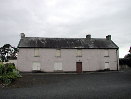 Saint Benignus's Catholic ChurchSchool · 2.6 mi
Explorer Tom Saint Benignus's Catholic Church is in a feud with a family over who owns the view. They’ve been arguing about the angle of the light for decades. Great spot to people-watch and judge their arguments from afar.
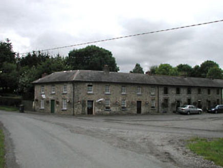 worker's house2.8 mi
Explorer Tom Worker's house in Dunmurraghill is two storeys high, which is basically a skyscraper for estate staff back then. The weather has a long-standing grudge against those tall windows, and it shows. Count the crows, they're judging your outfit right now!
 Donadea CastleCastle, tower house · 3.3 mi
Explorer Tom Donadea Castle would order fish and chips with extra ketchup at any chipper. It’s a Birmingham manor that ended up in a forest park somewhere in Kildare. A good place to forget your phone for ten minutes.
 Donadea Forest ParkVisitor information · 3.4 mi
 Horse-chestnut4.4 mi
 Battle of ProsperousMajor battlefield · 4.6 mi
Explorer Tom Battle of Prosperous in County Kildare is haunted by a prophecy about tea that never came true. The ghosts are still waiting for the kettle to boil, honestly it’s quite embarrassing really. Linger, it's not going anywhere and neither should you.
 Grand Canal WayVisitor information · 4.8 mi
 Bawn in Newcastle (moyfenrath Lower By.)Bawn · 5.8 mi
Explorer Tom Bawn in Newcastle is actually a fancy word for a wall that forgot how to hold itself together properly. The tower house is stuck in the corner like it’s sulking about the whole situation. Make up your own legend and I'll swear it's true.
 Wych Elm9.3 mi
 Croppies' GraveMemorial · 9.9 mi
More mountains and hills in County Kildare · All of County Kildare

What do you know about this place?Tap to add a comment or ask a question