
What is recorded here
Places near here
Photo credits
- National Inventory of Architectural Heritage
- Maker not stated on source page, commons.wikimedia.org
- Maker not stated on source page, ch.pinterest.com
- P L Chadwick, Geograph · Creative Commons Attribution-ShareAlike 2.0
- Maker not stated on source page, www.dreamstime.com
- Maker not stated on source page, www.pinterest.com
- Tom Quinn, credited by Western People, www.westernpeople.ie
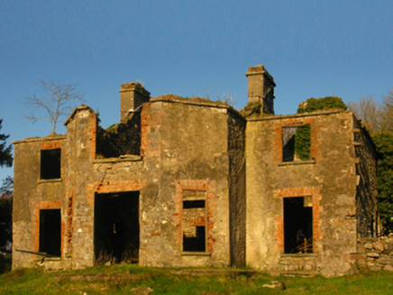 Hazelrock LodgeHunting/fishing lodge · 971 yd
Explorer Tom Hazelrock Lodge in Moat is jealous of that fancy house near Knock. It’s just a shell now, but it used to watch the…
 Holy well in Drumneen (carra By., Ballintober Par.)Holy well · 1336 yd
Explorer Tom Holy well in Drumneen would put 'Finally Found My Self' on its tombstone if it ever died, but for now it’s just…
 Killawalla CemeteryCemetery · 1.1 mi
Explorer Tom Killawalla Cemetery in County Mayo is probably the biggest tea party ever held, if you count all the cups used to level…
 Saint Patrick's Catholic ChurchChurch/chapel · 1.2 mi
Explorer Tom Saint Patrick’s Catholic Church in Killavally West is doing its best to look like Coventry Cathedral, which is brave…
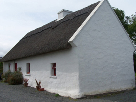 Walsh's CottageFarm house · 1.4 mi
Explorer Tom Walsh's Cottage in Killavally West is leaning into its rustic charm with a high-pitched thatched roof that looks like…
 mill (water)1.5 mi
Explorer Tom Killavally East’s mill shell claims it’s older than the hills, which is a wild lie I believe. A Viscount built it and…
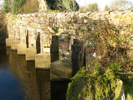 bridge1.6 mi
Explorer Tom Bridge in Killavally East is a civil engineering marvel that connects two places with names that are practically…
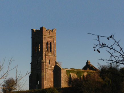 Saint Patrick's Church (Aghagower)Church/chapel · 1.7 mi
Explorer Tom Saint Patrick's Church in Aghagower is basically a shell with attitude. It was built with money from first fruits, so…
 MacPhilbins Castle (in ruins)Castle, tower house · 1.9 mi
Explorer Tom MacPhilbins Castle would win a county fair by simply existing and looking impressive while doing nothing. It’s a tower…
 Holy well in UnknownHoly well · 2.1 mi
Explorer Tom A poet fell in the ditch near this holy well and wrote nothing about it. It’s just a well, but it has great potential…
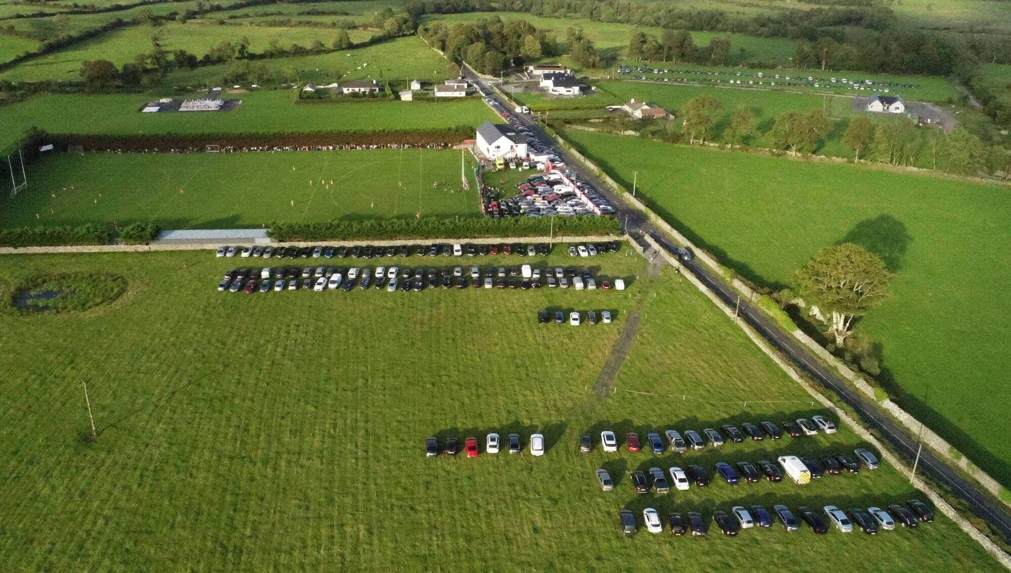 Ray Prendergast Memorial Park, Ballintubber GAAGAA ground · 3.2 mi
 Doon Castle (in ruins)Castle, unclassified · 3.4 mi
Explorer Tom Doon Castle would use a lotto win to buy a very large, very comfortable hat. It’s tired of looking like a bald eagle…
More walking routes in County Mayo · All of County Mayo

What do you know about this place?Tap to add a comment or ask a question