What is recorded here
Identified in centre-line testing (E4110) in advance of the M11 Gorey to Enniscorthy road scheme and set aside for resolution as Myaugh 3 (Hardy et al. 2010, 68). It is located on a slight SE-NW spur with a SE-NW section of a small NE-SW stream c. 230m to the NE. When completely excavated (E4230) by M. McNamara it proved to be the bottom of a large rectangular pit (dims 3.7m NW-SE; 2.2m NE-W; D 0.2m) with a fire-reddened base and four charcoal-bearing fills, and it might be interpreted as a cremation-pit. A smaller pit (diam. 0.9m; D 0.25m) was located 1m S, which may have held a marker-post. A worked flint, and burnt bone were recovered from the fill of the larger feature, and a grinding stone was found in the topsoil. (Hardy 2012; McNamara 2013)
Compiled by: Michael Moore
Date of upload: 26 November, 2013
The monument record does not grant public access. Check the route and ask the landowner before entering private land.
- What survives
- Recorded monument
Places near here
 Fulacht fia in EffernogeFulacht fia · 278 yd
 Not idicatedFairy fort / earthen ringfort · 592 yd
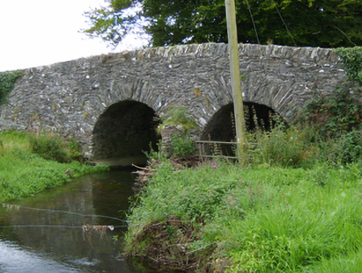 Tinnacross Bridgebridge · 867 yd
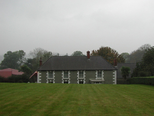 farm housefarm house · 943 yd
 CastleCastle, unclassified · 2.6 mi
 U.N. Peace MemorialMonument · 5.4 mi
 Battle of Vinegar HillMajor battlefield · 5.5 mi
 Duffry GateMemorial · 5.5 mi
 National 1798 CentreMuseum · 5.7 mi
 Daphney CastleCastle, unclassified · 6.5 mi
 European LarchEuropean Larch · 6.6 mi
 European YewEuropean Yew · 6.6 mi