What is recorded here
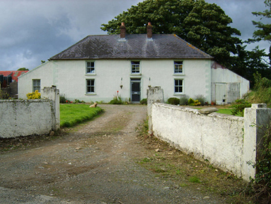
Detached three-bay two-storey farmhouse, extant 1921, on a rectangular plan with three-bay two-storey rear (north) elevation. Hipped slate roof with clay ridge tiles, paired red brick Running bond central chimney stacks having corbelled stepped capping supporting terracotta pots, and cast-iron rainwater goods on rendered eaves retaining cast-iron downpipes. Roughcast walls on rendered plinth with rendered "bas-relief" quoined piers to corners. Square-headed central door opening with concrete step threshold, and rendered "bas-relief" surround framing replacement glazed aluminium door having overlight. Square-headed window openings with concrete sills, and rendered "bas-relief" surrounds framing two-over-two timber sash windows. Square-headed window openings to rear (north) elevation with concrete sills, and concealed dressings framing two-over-two timber sash windows. Set back from road with rendered piers to perimeter having stepped capping.
A farmhouse representing an integral component of the early twentieth-century domestic built heritage of County Wexford with the architectural value of the composition suggested by such attributes as the compact rectilinear plan form centred on a featureless doorcase; and the somewhat disproportionate bias of solid to void in the massing compounded by the diminishing in scale of the openings on each floor producing a graduated visual impression. Having been reasonably well maintained, the elementary form and massing survive intact together with substantial quantities of the original fabric, thus upholding the character or integrity of a farmhouse making a pleasing visual statement in a sylvan street scene.
From the Buildings of Ireland (National Inventory of Architectural Heritage) record 15702106
This does not grant access. Most recorded buildings are privately owned; view them only from public ground unless the owner allows entry.
Places near here
Photo credits
- National Inventory of Architectural Heritage
- 瑞丽江的河水, Wikimedia Commons · CC BY-SA 4.0
- Hywel Williams, Wikimedia Commons · CC BY-SA 2.0
- sarah777, Wikimedia Commons · CC BY-SA 2.0
- liam murphy, Wikimedia Commons · CC BY-SA 2.0
- Andrewmc, Wikimedia Commons · CC BY-SA 3.0
- Colin Park, Geograph · CC BY-SA 2.0
- Poleary91, Wikimedia Commons · CC BY-SA 4.0
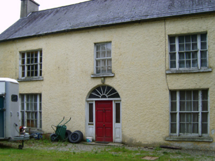 Garryduff HouseFarm house · 935 yd
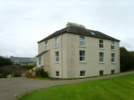 RockhurstRectory/glebe/vicarage/curate's house · 1.2 miFather Murphy CentreHeritage attraction · 1.6 mi
 Embanked enclosureCastle, motte · 2.3 miOulart HillMountain / peak · 2.5 mi
 Tulach a' tSolaisMonument · 2.6 mi
 1798 MemorialMonument · 3.3 mi
 Saint Mogue's WellSpring · 4.1 mi
 Ferns Castle (in ruins)Castle, Anglo-Norman masonry castle · 4.3 mi
.jpg/250px-1798_Monument_(1).jpg "Photo: Andrewmc, Wikimedia Commons · CC BY-SA 3.0") 1798 MonumentMemorial · 5.1 mi
1798 MonumentMemorial · 5.1 mi Vinegar HillMountain / peak · 5.2 mi
 Windmill (in ruins)Windmill · 5.2 mi
More historic places in County Wexford · All of County Wexford
What do you know about this place?