
What is recorded here
Located just off the crest at the N end of a NW-SE ridge. This is an overgrown, flat-topped earthen mound with an oval summit (dims. of top 16m N-S; 9m E-W; diam. of base c. 37m; H 7-7.5m) defined by an earthen bank (Wth 2-3m; int. H 0.8m) visible on the summit at N and S. The base is defined by a fosse (Wth of top 7-10m) and an outer counterscarp bank (Wth 1.5-2.5m; int. H 1-2m; ext. H 0.8-1.2m). Below the summit of the mound on the W side is an embanked platform (dims. 16m N–S; 7m E–W), probably the result of quarrying. The church site (WX020-042----) is just 35m to the NE. (Harbison 1975, 245)
This is a National Monument in state ownership: No. 375.
Located just off the crest at the N end of a NW-SE ridge. This is an overgrown, flat-topped earthen mound with an oval summit (dims. of top 16m N-S; 9m E-W; diam. of base c. 37m; H 7-7.5m) defined by an earthen bank (Wth 2-3m; int. H 0.8m) visible on the summit at N and S. The base is defined by a fosse (Wth of top 7-10m) and an outer counterscarp bank (Wth 1.5-2.5m; int. H 1-2m; ext. H 0.8-1.2m). Below the…
From the National Monuments Service (Archaeological Survey of Ireland) record WX020-041
The monument record does not grant public access. Check the route and ask the landowner before entering private land.
- What survives
- Recorded monument
Places near here
Photo credits
- National Inventory of Architectural Heritage
- MikeWest Wexford, Wikimedia Commons · CC BY-SA 4.0
- George Cruikshank, Wikimedia Commons · Public domain
- Garry Dickinson, Geograph · CC BY-SA 2.0
- David Purchase, Geograph · Creative Commons Attribution-ShareAlike 2.0
- Algirdas at Lithuanian Wikipedia, Wikimedia Commons · Public domain
- Sciadopitys from UK, Wikimedia Commons · CC BY-SA 2.0
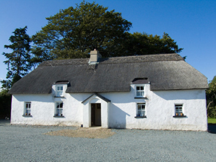 farm house1519 yd
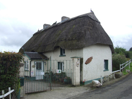 Primrose CottageFarm house · 1.1 mi
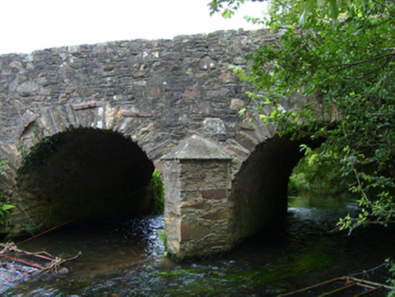 Ballincash BridgeBridge · 1.3 mi
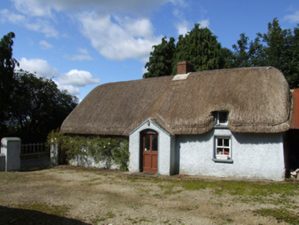 farm house1.5 mi
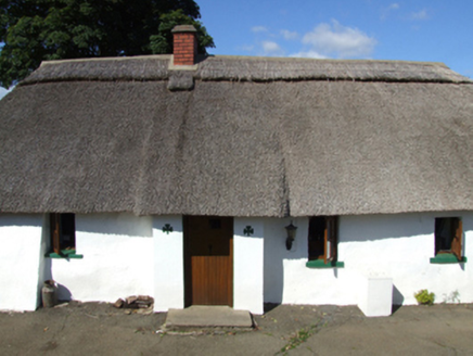 O CúipéirFarm house · 1.5 mi
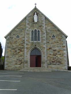 Saint Patrick's Catholic ChurchChurch/chapel · 1.6 mi
 Enniscorthy CastleMuseum · 4.4 mi
_p184_Defeat_at_Vinegar_Hill_(cropped).jpg/250px-MAXWELL(1845)_p184_Defeat_at_Vinegar_Hill_(cropped).jpg "Photo: George Cruikshank, Wikimedia Commons · Public domain") Battle of Vinegar HillMajor battlefield · 4.6 mi
Battle of Vinegar HillMajor battlefield · 4.6 mi Wilton HouseCastle, unclassified · 7.1 mi
 Clonmore Grave YardGraveyard · 8.3 mi
 Pedunculate Oak8.8 mi
 European Larch9.6 mi
More castles and forts in County Wexford · All of County Wexford
What do you know about this place?