What is recorded here
Described as the site of a church within a circular graveyard (diam. c. 90-100m) on the 1839 ed. of the OS 6-inch map and as the site of a church on the 1940 ed. of the map. It is situated at the crest of a gentle S-facing slope. The remains of the church (int. dims. 15m E–W; 6m N–S) appear as grass-covered walls (Wth c. 1.5m; H 0.5-0.8m) on the S side of an E-W field bank. The bank (Wth 6–8m; H 0.3m) of a circular ecclesiastical enclosure (diam. 83m E-W) survives SW–N–E forming a D-shaped enclosure (dim. 59m N-S) on the N side of the field bank. There is a record from the 1940s of one visible headstone (SMR file) but there is no evidence of burial in the 1980s. There is local knowledge that what is called a font was taken to the County Wexford Museum in Enniscorthy.
The above description is derived from the published 'Archaeological Inventory of County Wexford' (Dublin: Stationery Office, 1996). In certain instances the entries have been revised and updated in the light of recent research.
Compiled by: Michael Moore
Date of upload/revision: 31 May, 2012
The monument record does not grant public access. Check the route and ask the landowner before entering private land.
- What survives
- Recorded monument
Places near here
 Font in KillabegFont · 1 yd
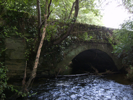 Crane Bridgebridge · 887 yd
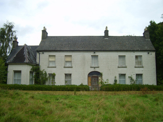 Killabeg Housefarm house · 1185 yd
 U.N. Peace MemorialMonument · 3.5 mi
 Duffry GateMemorial · 3.6 mi
 Battle of Vinegar HillMajor battlefield · 3.6 mi
 National 1798 CentreMuseum · 3.8 mi
 Daphney CastleCastle, unclassified · 4.6 mi
 Pedunculate OakPedunculate Oak · 5.5 mi
 CastleCastle, ringwork · 5.5 mi
 European LarchEuropean Larch · 6.1 mi