What is recorded here
At the SE end of Lough Nabelwy, which has a stony shoreline. This oval, high-cairn crannog (19.8m E–W; 14m N–S) rises 1.8m above the soft, muddy lake-bed and is moderately overgrown with grass, a tree and some shrubs. Two centrally located, low cairns (covering an area 8.4m N–S; 7.2m E–W) consist of a thin layer of angular and subangular sandstones spread out over what seems to be a timber floor. The edges of the crannog are submerged but stones forming a plateau are evident all around it. Vertical timbers (L c. 1.5m; Wth c. 0.15m) were noted on this part of the crannog and a possible vertical post was found to the S of it. The edges of the crannog are distinct in material and form against the lake-bed. A rectangular feature (2m NE–SW; 1m NW–SE) at the SW, composed of subangular stones, may be a small jetty.
At the SE end of Lough Nabelwy, which has a stony shoreline. This oval, high-cairn crannog (19.8m E–W; 14m N–S) rises 1.8m above the soft, muddy lake-bed and is moderately overgrown with grass, a tree and some shrubs. Two centrally located, low cairns (covering an area 8.4m N–S; 7.2m E–W) consist of a thin layer of angular and subangular sandstones spread out over what seems to be a timber floor. The edges of the…
From the National Monuments Service (Archaeological Survey of Ireland) record LF002-020
The monument record does not grant public access. Check the route and ask the landowner before entering private land.
- What survives
- Recorded monument
Places near here
Photo credits
- National Inventory of Architectural Heritage
- Oliver Dixon, Wikimedia Commons · CC BY-SA 2.0
- Maker named on the Wikimedia Commons picture page · CC BY-SA 2.5
- Wanfried-Dublin, Wikimedia Commons · CC BY-SA 4.0
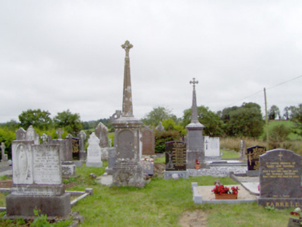 graveyard/cemetery1112 ydRitual siteRitual site, holy tree/bush · 1113 yd
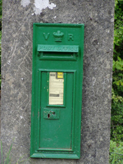 post box1507 ydNorth Midland Transport CollectionMuseum · 1.4 mi
 Battle of BallinamuckMajor battlefield · 1.8 mi
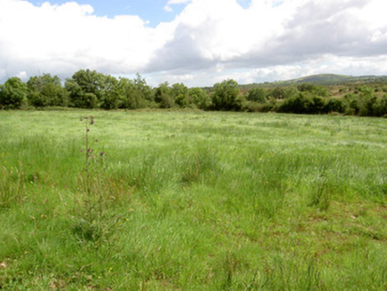 battlefield1.9 miBallinamuck Bog LoopWalking route · 2.7 miGiant's GraveArchaeological place · 3.6 miNative Woodland Trust: Farnaght ReserveWood · 3.7 mi
 Sessile Oak4.6 miCastleBawn · 4.9 mi
 Portal tomb in AghnacliffPortal tomb · 5.4 mi
More archaeology and monuments in County Longford · All of County Longford
What do you know about this place?