Cliffs, bays and coast in County Wicklow
The Discover Alone map has 27 cliffs, bays and coast in County Wicklow, Ireland. Below are the 12 with the most written about them, pictures first. Every one has its own page with directions and places nearby.
Open County Wicklow on the map Saint Brigit's Mass StoneNamed rockSaint Brigit's Mass Stone is recorded as a named rock in County Wicklow. Its open map record supplies this location and…
 Saint Brigit's ChairNamed rockSaint Brigit's Chair is recorded as a named rock in County Wicklow. Its open map record supplies this location and any…
 The Black StairsNamed rockThe Black Stairs is recorded as a named rock in County Wicklow. Its open map record supplies this location and any…
 Glanmalure North CragCliffGlanmalure North Crag is recorded as a cliff in County Wicklow. Its open map record supplies this location and any…
 Baravore Valley LowerCliffBaravore Valley Lower is recorded as a cliff in County Wicklow. Its open map record supplies this location and any…
 The Back MotteNamed rockThe Back Motte is recorded as a named rock in County Wicklow. Its open map record supplies this location and any linked…
 Lover's LeapNamed rockLover's Leap is recorded as a named rock in County Wicklow. Its open map record supplies this location and any linked…
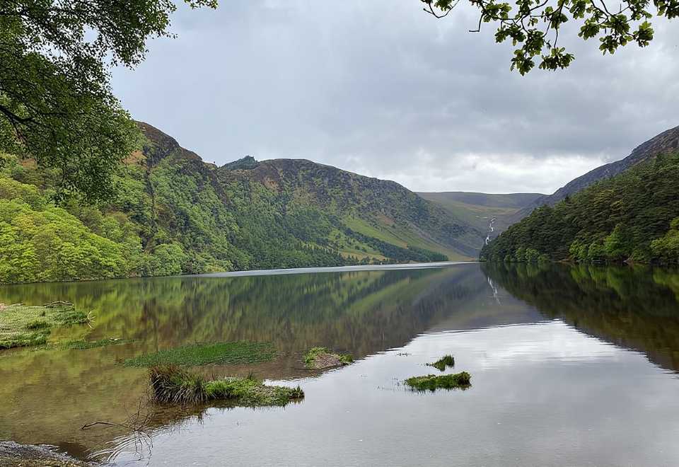 Glendalough CragsCliffGlendalough Crags is recorded as a cliff in County Wicklow. Its open map record supplies this location and any linked…
Dwyer's RockCliffDwyer's Rock is recorded as a cliff in County Wicklow. Its open map record supplies this location and any linked names…
 The ShaftCliffThe Shaft is recorded as a cliff in County Wicklow. Its open map record supplies this location and any linked names or…
 Goat BenchCliffIsolated platform surrounded by three steep rock walls, often identifiable by different grass colour.
 The Stripped FlagsNamed rockExposed flat rock area