Walking routes in County Wicklow
The Discover Alone map has 56 walking routes in County Wicklow, Ireland. Below are 7 of the best: places with a real photograph and the most written about them first. Every one has its own page with directions and places nearby.
Open County Wicklow on the map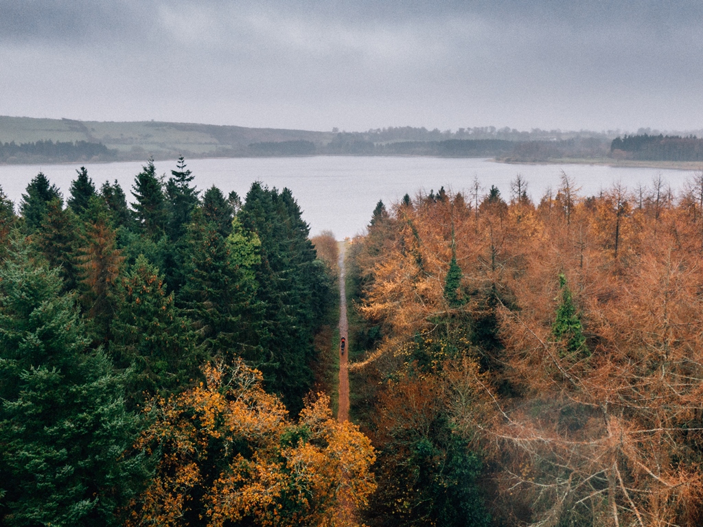 Blessington Greenway Walking route Explorer Tom Blessington Greenway slips along Poulaphouca Reservoir with Wicklow scenery doing its best to distract you from the…
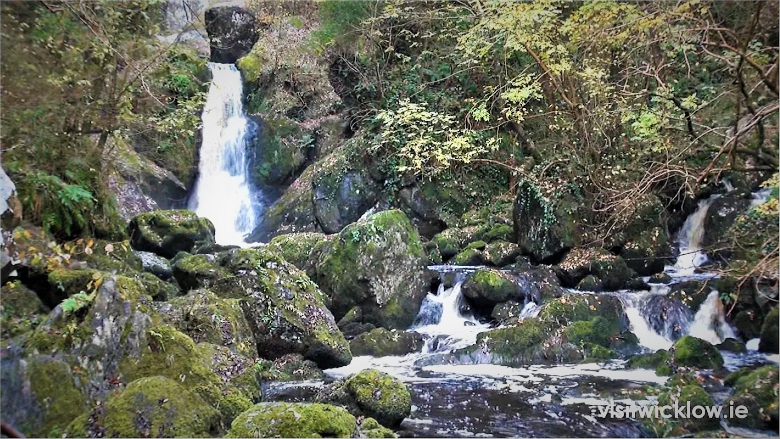 The Devil's Glen - Waterfall Walk Walking route Explorer Tom The Devil's Glen - Waterfall Walk in County Wicklow was once run by a matchmaker who paired up every couple she saw…
 The Sugar Loaf Way Walking route Explorer Tom The Sugar Loaf Way in County Wicklow has very strong opinions on modern buildings and thinks they’re all a bit too…
 Avondale Forest Park - River Walk Walking route Explorer Tom Avondale Forest Park - River Walk in County Wicklow is constantly being roasted by local seagulls who say it’s too…
 Ballygannon Wood Red Walk Walking route Explorer Tom Ballygannon Wood Red Walk in County Wicklow would love to complain to the council about the lack of benches for its…
 Deerpark Trail Walking route Explorer Tom Deerpark Trail is absolutely showing off its muscles in County Wicklow. I reckon when nobody's looking, it practices…
- Wicklow Way Walking route Explorer Tom The Wicklow Way sets off from Marlay Park in Dublin, crosses mountain and glen, and finally reaches Clonegal in County…
Pictures: Picture: Wicklow County Tourism; Maker not stated on source page, visitwicklow.ie; Carroll Pierce, Geograph · CC BY-SA 2.0; Maker not stated on source page, www.coillte.ie; Maker not stated on source page, www.pinterest.com; Simon Mortimer, Geograph · CC BY-SA 2.0