
More pictures of this place


What is recorded here
Places near here
Photo credits
- Schcambo at English Wikipedia, Wikimedia Commons · Public domain
- Maker not stated on source page, www.tripadvisor.com
- Maker not stated on source page, photorestor.com
- The Vicious Chicken of Bristol, Wikimedia Commons · CC BY-SA 4.0
- Maker not stated on source page, www.ireland.com
- Maker not stated on source page, commons.wikimedia.org
- National Inventory of Architectural Heritage
- Maker not stated on source page, uk.pinterest.com
- Maker not stated on source page, www.gettyimages.com.au
- Maker not stated on source page, www.dreamstime.com
 CloghernaghMountain / peak · 1144 yd
Explorer Tom Cloghernagh stands above Glenmalure like Lugnaquilla's quieter accomplice, a broad Wicklow summit that makes you earn…
 CorrigasleggaunMountain / peak · 1557 yd
Explorer Tom Corrigasleggaun in County Wicklow looks like it was built by someone who really didn't read the instructions properly.…
 Carrawaystick WaterfallWaterfall · 1.5 mi
Explorer Tom Carrawaystick Waterfall was likely named by a builder who thought he was installing a fancy garden hose and got lost in…
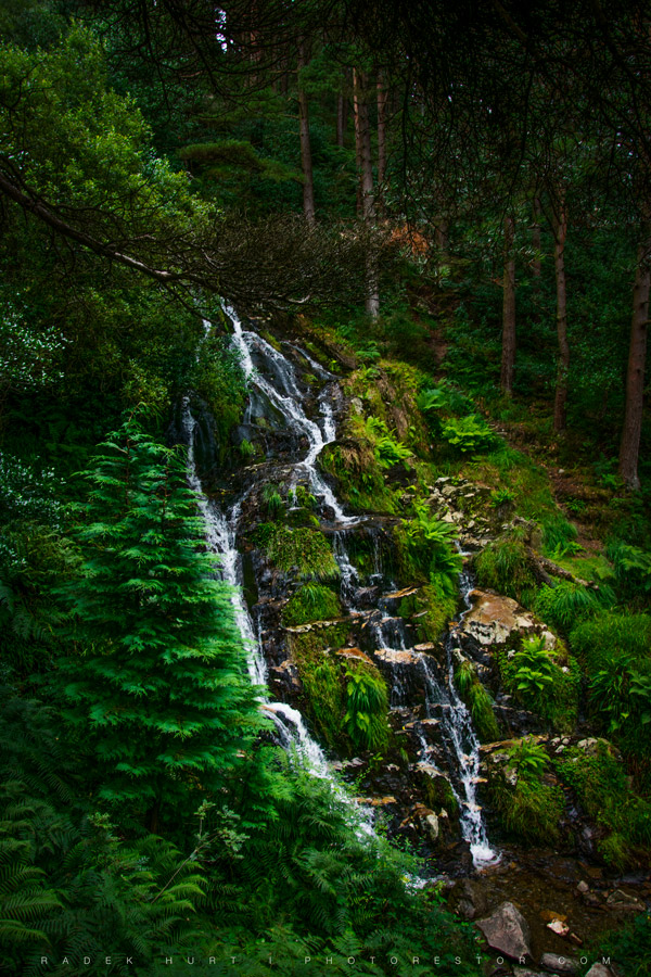 Ballinafunshoge WaterfallWaterfall · 1.6 mi
Explorer Tom Ballinafunshoge Waterfall in County Witness is where a love story went badly wrong because one of the lovers forgot to…
 Battle of GlenmalureMajor battlefield · 1.8 mi
Explorer Tom The Battle of Glenmalure echoes with the sound of sheep complaining about the mud in 1580. Fiach MacHugh O'Byrne…
 Drumgoff Forest Recreation AreaVisitor information · 2.3 mi
Explorer Tom Drumgoff Forest is in a feud with the next village over because they used its name for a bakery and forgot to pay up.…
 Standing stone in FarbreagaStanding stone · 2.8 mi
Explorer Tom Standing stone in Farbreaga is feuding with the next village over something daft, likely involving a misplaced fence…
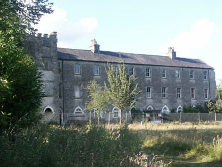 Aghavannagh BarrackBarracks · 3.0 mi
Explorer Tom Aghavannagh Barrack thinks the local rabbits are using it as their personal playground and gym. It’s partly demolished…
 Enclosure in Cannow MountainEnclosure · 3.5 mi
Explorer Tom Enclosure in Cannow Mountain is small and subcircular, like a cookie that got lost on a slope. What would it get on its…
 Cranernin GraveyardGraveyard · 5.0 mi
Explorer Tom Cranernin Graveyard is having a massive row with the road that leads to it, claiming the tarmac is too noisy for its…
 Seskin rc GraveyardGraveyard · 5.3 mi
Explorer Tom Seskin rc Graveyard in County Wicklow has a hidden message in its stones if you squint really hard. It might say 'Buy…
 Church in Kilcarney LowerChurch · 5.6 mi
Explorer Tom Church in Kilcarney Lower hosted a dance once where everyone fell asleep standing up. The bank of earth is just the…
More walking routes in County Wicklow · All of County Wicklow

What do you know about this place?Tap to add a comment or ask a question