
What is recorded here
SW of Dunmanway, S of Dirty River. Rectangular 6-bay, 6-storey weatherslated structure with low stone addition at NE end. Burnt in 1982, subsequently reduced in height. Now almost entirely surrounded by low modern buildings. Partially infilled wheel pit along NW wall (Wth 2.5m). 'National Gas and Oil Engine' stands in Engine House to N, in use until recently. Mill now used to make cattle feed.
The above description is derived from the published 'Archaeological Inventory of County Cork. Volume 1: West Cork' (Dublin: Stationery Office, 1992). In certain instances the entries have been revised and updated in the light of recent research.
Date of upload/revision: 14 January 2009
The monument record does not grant public access. Check the route and ask the landowner before entering private land.
- What survives
- Recorded monument
Places near here
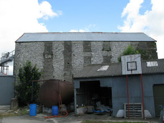 mill (water)mill (water) · 33 yd
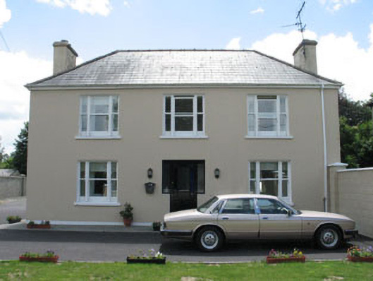 Laurel Househouse · 136 yd
 Castle (Site of)Castle, Anglo-Norman masonry castle · 320 yd
 Man-made underground passage in UnderhillMan-made underground passage · 624 yd
 Dunmanway Heritage CentreVisitor information · 750 yd
 Hexagon RockMass-rock · 793 yd
 Graveyard in Dunmanway NorthGraveyard · 1526 yd
 Mohona WoodWood · 1.2 mi
 Mount GunneryMountain / peak · 1.8 mi
 Funmanway Adventure LandHeritage attraction · 2.1 mi
 Graveyard in ToughmacdermodyGraveyard · 3.4 mi
 Togher CastleCastle, tower house · 3.6 mi
Other information
Photo: Credit not shown in the picture search · Rights wording not checked; contact us if this picture should be removed