
What is recorded here
Listed in both the SMR (1989) and RMP (1995) and classified 'Sweathouse'. In poor pasture, on a slight rise on the bank of a stream. A semicircular stone-lined pit (diam. c. 1.2m; D 1.5m) with an opening at W. A possible roof-slab (1.05m x 0.6m) leans against the wall at S. It is named 'Corn kiln' on the 1838 OS 6-inch map. This is probably post-1700 AD in date.
Compiled by: Archaeological Survey Unit, UCC
Date of upload: 13 December 2011
The monument record does not grant public access. Check the route and ask the landowner before entering private land.
- What survives
- Recorded monument
Places near here
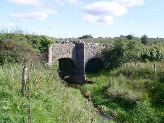 bridgebridge · 774 yd
 CastleCastle, unclassified · 1006 yd
 Bryan Mulveys fortFairy fort / earthen ringfort · 1173 yd
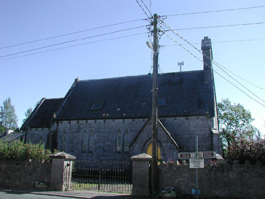 Tiraghrillchurch/chapel · 1232 yd
 Fairy fort / stone ringfort in CleighranFairy fort / stone ringfort · 1445 yd
 MoteCastle, motte · 1.7 mi
 Giants GraveArchaeological place · 2.7 mi
 SlishwoodWood · 2.7 mi
 Cullentra ForestForest · 3.2 mi
 Trawane BayBay · 3.4 mi
 InnisfreeIslet · 3.4 mi
 Slishwood Island WestIslet · 3.4 mi
Other information
Photo: Credit not shown in the picture search · Rights wording not checked; contact us if this picture should be removed