
What is recorded here
Cnoc na nUlán rises to approximately 400–500 metres and is part of the broader upland landscape of west Cork, characterised by Carboniferous limestone geology. Its Gaelic name, meaning "Hill of the Spirits" or "Hill of the Fairies," reflects local folklore associating the area with supernatural or otherworldly significance.
Places near here
 KnockullaneMountain / peak · 118 yd
 Dermot & Grania's BedArchaeological place · 397 yd
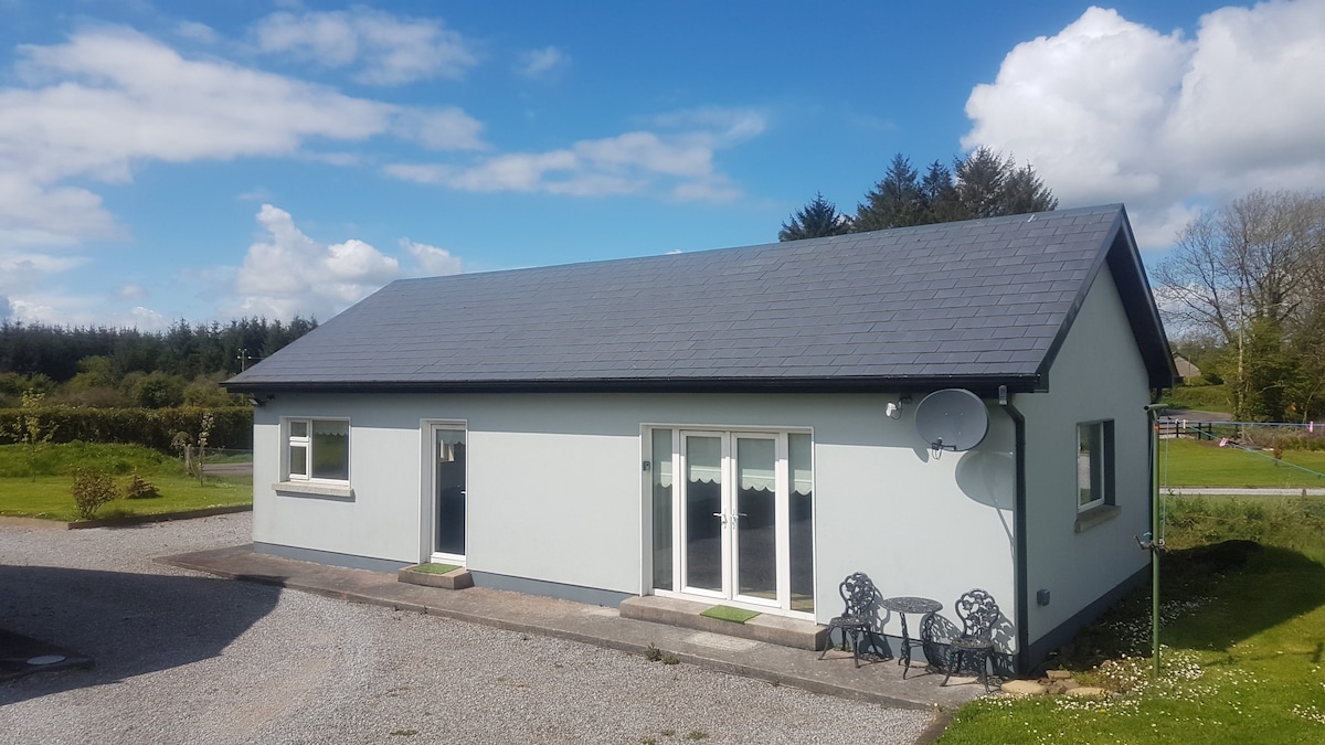 Hut site in Com An GhadhairHut site · 1206 yd
 Cnoc na nUlán (mullach thoir)Mountain / peak · 1747 yd
 KilnKiln, corn-drying · 1.8 mi
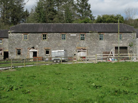 Home Farmfarmyard complex · 1.8 mi
 Castle (Site of)Castle, unclassified · 2.1 mi
 Cascade WoodWood · 2.1 mi
 Kealaboane WoodWood · 2.4 mi
 CastleCastle, unclassified · 3.6 mi
 European long distance path E8 - part IrelandWalking route · 4.1 mi
 Sli Gaeltacht MuscraiWalking route · 5.9 mi
Other information
Photo: Credit not shown in the picture search · Rights wording not checked; contact us if this picture should be removed