
What is recorded here
From the National Monuments Service (Archaeological Survey of Ireland) record CO019-074
Places near here
Photo credits
- Maker not stated on source page, www.pinterest.com
- Maker not stated on source page, commons.wikimedia.org
- National Inventory of Architectural Heritage
- Maker not stated on source page, it.pinterest.com
- Maker not stated on source page, www.youtube.com
- Maker not stated on source page, www.megalithic.co.uk
- Maker not stated on source page, storage.googleapis.com
- Maker not stated on source page, www.dreamstime.com
 Caherdrinny CastleRuins · 1.4 mi
Explorer Tom Caherdrinny Castle was designed by a mother-in-law who insisted every room had exactly one window, no more, no less.…
 Fairy fort / earthen ringfort in Caherdrinny (condons and Clongibbon By., Glanworth Par.)Fairy fort / earthen ringfort · 1.4 mi
Explorer Tom Fairy fort / earthen ringfort in Caherdrinny has a superstition that says if you trip over its bank, you’ll find…
 Church (Site of)Church · 1.6 mi
Explorer Tom Church in Kilphelan was described as almost untraceable back in 1932, so it's probably gone completely now. The maps…
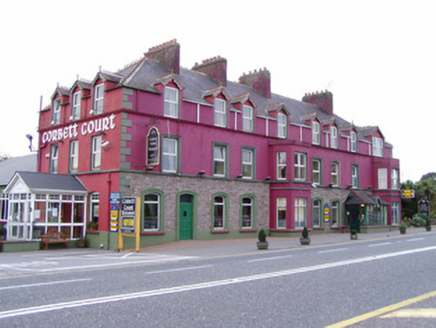 Corbett CourtHotel · 1.9 mi
Explorer Tom Corbett Court Hotel in Ballinrush is the dramatic one at the party, showing off its terracotta finials and carved…
 church/chapel1.9 mi
Explorer Tom Church or chapel in Curraghagalla South is a mid-twentieth-century example with a steep tiled roof. It’s got a…
 Fairy fort / earthen ringfort in Curraghagalla SouthFairy fort / earthen ringfort · 2.4 mi
Explorer Tom Fairy fort / earthen ringfort in Curraghagalla South has two banks and looks like it’s trying to be something more. Get…
 Enclosure in BallykenlyEnclosure · 3.8 mi
Explorer Tom This Enclosure in Ballykenly is 35 meters wide and just a ditch mark. It’s got neighbors to the south and southwest, so…
 monument3.9 mi
Explorer Tom Ballydeloughy Monument is an obelisk with crossed rifles and 'Éire' carved in stone from 1945. It’s a nationalist flex…
 Ballydeloughy Castle (in Ruins)Castle, unclassified · 4.1 mi
Explorer Tom Ballydeloughy Castle is just a wall with attitude in Cork. The Roches built this thing back in the day, but now it's…
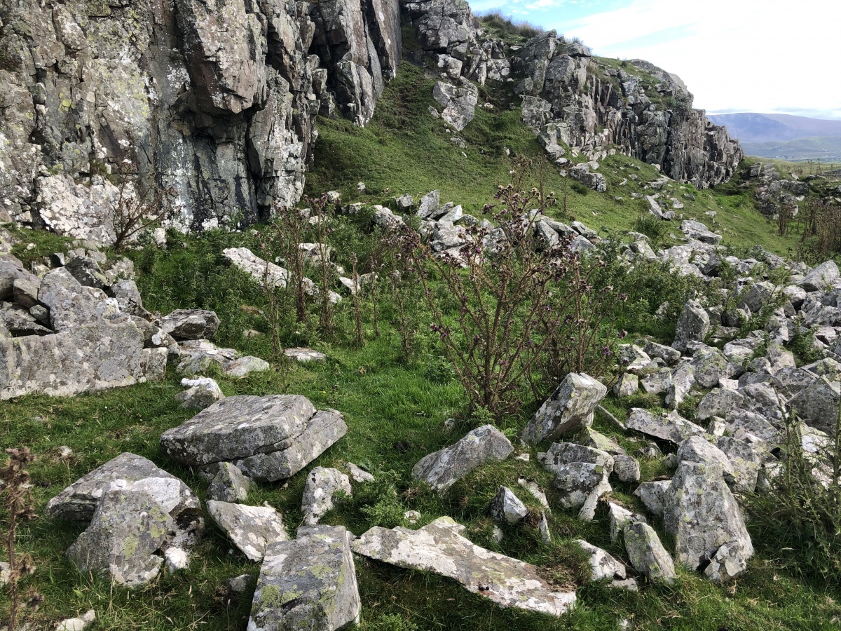 Enclosure in Cloghleafin (condons and Clongibbon By., Kilgullane Par.)Enclosure · 4.2 mi
Explorer Tom Enclosure in Cloghleafin is faintly visible as a cropmark on an aerial photo from 1984. There are possible ringforts…
 Church (in Ruins)Church · 4.7 mi
Explorer Tom Church in Marshalstown nearly got famous once when a tourist mistook it for a haunted castle and posted it online. The…
 Glanworth Old CemeteryGraveyard · 4.8 mi
Explorer Tom Glanworth Old Cemetery in County Cork would ace any job interview with its track record of patience. It’s been holding…
More archaeology and monuments in County Cork · All of County Cork

What do you know about this place?Tap to add a comment or ask a question