What is recorded here
The following description is derived from both the published 'Archaeological Inventory of County Louth' (Dublin: Stationery Office, 1986) and the 'Archaeological Survey of County Louth' (Dublin: Stationery Office, 1991). In certain instances the entries have been revised and updated in the light of recent research.
Date of upload/revision: 17 July 2007
Short cist, rectangular in shape, with single slabs for capstone and floor. The cist was aligned E-W and contained a bowl food vessel and some partly cremated bone (CLAJ 1910, 325; Praehistoriche Zeitschrift 1911, 185; JRSAI 1970, 123). The cist was reconstructed in the avenue bank of Dun Dealgan Motte (LH007-118007-).
A Neolithic cist tomb; likely dates to the 4th–3rd millennium BCE. Its presence indicates early burial practices and settlement in the Tankardsrock area.
The monument record does not grant public access. Check the route and ask the landowner before entering private land.
- What survives
- Recorded monument
Places near here
 Catholic Church of the Immaculate Conceptionchurch/chapel · 935 yd
 Enclosure in RathmoreEnclosure · 1288 yd
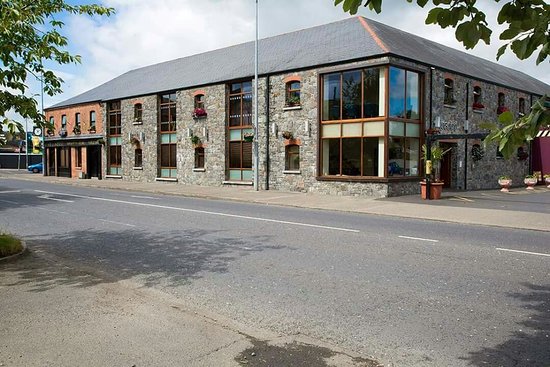 LisadaneFairy fort / earthen ringfort · 1324 yd
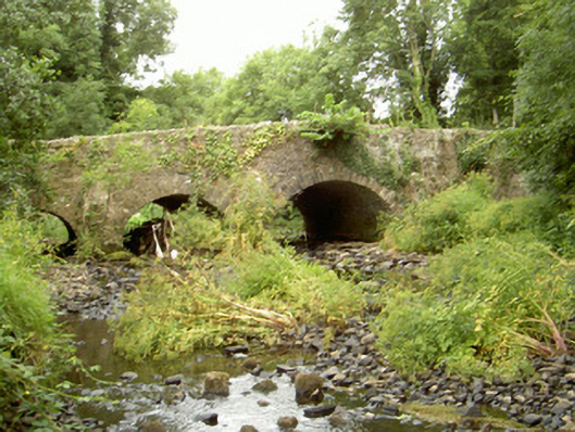 Fords Bridgebridge · 1737 yd
 Dun DealganCastle, motte and bailey · 1.4 mi
 Castletown MotteArchaeological place · 1.4 mi
 Dundalk CentralHeritage attraction · 2.2 mi
 Photo GalleryHeritage attraction · 2.3 mi
 Maid of ErinMemorial · 2.6 mi
 Bombing 1975Memorial · 2.7 mi
 Sky HillMountain / peak · 3.0 mi
 Ballsmill Amenity LandPicnic place · 3.7 mi