What is recorded here
The following description is derived from both the published 'Archaeological Inventory of County Louth' (Dublin: Stationery Office, 1986) and the 'Archaeological Survey of County Louth' (Dublin: Stationery Office, 1991). In certain instances the entries have been revised and updated in the light of recent research.
Date of upload/revision: 17 July 2007
Side slab of cist (L 1.6m, H 0.5m, T 0.3m) aligned NNE-SSW, situated in centre of interior of ring-barrow (LH003-019001-). Misidentified as a Man-made underground passage by Tempest (CLAJ 1912, 26).
A Neolithic cist tomb; dates to the early to middle Bronze Age in some regional contexts. Its significance lies in providing insights into burial practices and funerary customs of prehistoric communities in eastern Ireland.
The monument record does not grant public access. Check the route and ask the landowner before entering private land.
- What survives
- Recorded monument
Places near here
 Man-made underground passage in CourtbaneMan-made underground passage · 1102 yd
 Morgans fortFairy fort / earthen ringfort · 1223 yd
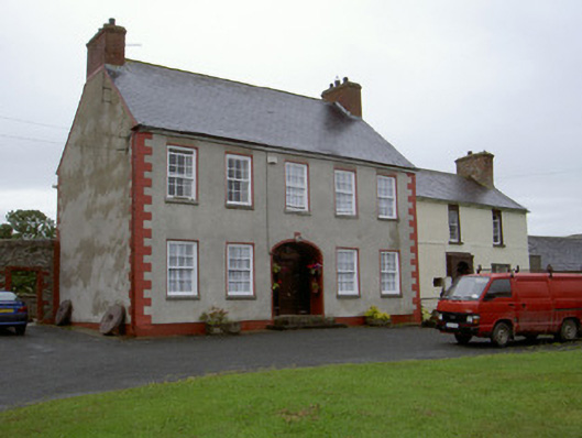 Clonaleenaghan Househouse · 1701 yd
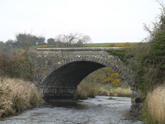 Fane River Bridgebridge · 2.0 mi
 CastleCastle, unclassified · 2.1 mi
 Golf 30Fort · 2.8 mi
 Ballsmill Amenity LandPicnic place · 3.3 mi
 MEDIEVAL & POST-MED. CHURCH & GRAVEYARD in Creggan Bane GlebeMEDIEVAL & POST-MED. CHURCH & GRAVEYARD · 3.4 mi
 Battle of Newry Roadbattle · 3.6 mi
 Sky HillMountain / peak · 3.7 mi
 Irish Hunger StrikersMemorial · 4.5 mi
 KnockreaghMountain / peak · 5.0 mi