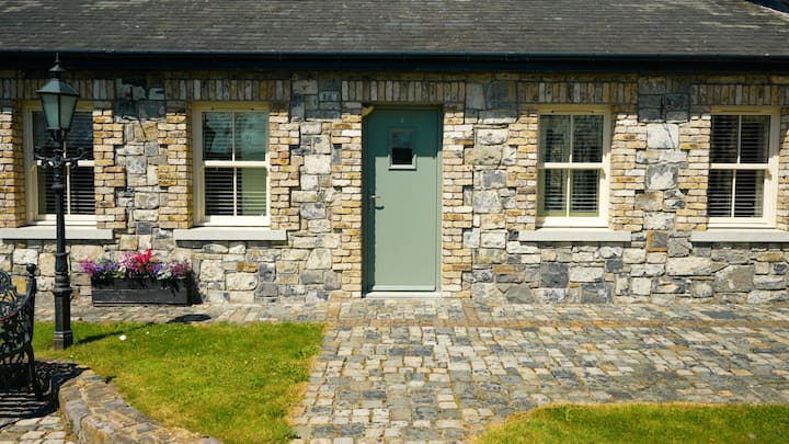
What is recorded here
This possible cist burial was discovered during ploughing operations in 1944. The remains comprised a pit lined with stones (dims. 0.95m E-W, 0.70m N-S , D 0.35m) and covered with the capstones (NMI Coorrespondence 26/4/44). There are no visible surface remains.
Compiled by Geraldine Stout
Cist burial, likely dating to the Early Christian or Bronze Age period. Its significance lies in providing evidence of early burial practices, though its precise cultural context remains unclear due to limited recorded details.
The monument record does not grant public access. Check the route and ask the landowner before entering private land.
- What survives
- Recorded monument
Places near here
 Enclosure in Commons (newcastle By., Rathcoole Ed)Enclosure · 386 yd
 St. Bridgets WellHoly well · 535 yd
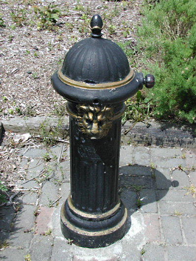 water pumpwater pump · 578 yd
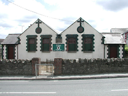 Rathcoole National Schoolschool · 609 yd
 Inniscara GalleryGallery · 614 yd
 Rathcoole WoodlandWood · 1443 yd
 Meadow WildlifeVisitor information · 1535 yd
 CastleCastle, tower house · 1.5 mi
 Athgoe HillMountain / peak · 1.5 mi
 Colmanstown Castle (in ruins)Castle, tower house · 1.6 mi
 European YewEuropean Yew · 1.6 mi
 Saint Finian's WellSpring · 1.7 mi
Other information
Photo: Credit not shown in the picture search · Rights wording not checked; contact us if this picture should be removed