
What is recorded here
From the National Monuments Service (Archaeological Survey of Ireland) record CO141-029003
Places near here
Photo credits
- Maker not stated on source page, ph.pinterest.com
- Maker not stated on source page, www.outinthenature.com
- Maker not stated on source page, it.pinterest.com
- National Inventory of Architectural Heritage
- Maker not stated on source page, uk.pinterest.com
- Maker not stated on source page, www.alamy.com
- Maker not stated on source page, www.youtube.com
- Maker not stated on source page, commons.wikimedia.org
- Anne Minihane / Southern Star, www.southernstar.ie
 Cupmarked stone in LissanoohigCupmarked stone · 884 yd
Explorer Tom Cupmarked stone in Lissanoohig has four cupmarks and an oval depression that might have been a bullaun. It’s sitting on…
 Cupmarked stone in DrummigCupmarked stone · 1231 yd
Explorer Tom Cupmarked stone in Drummig has twelve cupmarks that look like someone dropped a tray of tiny thimbles onto a flat rock…
 Fairy fort / earthen ringfort in AbbeystrowryFairy fort / earthen ringfort · 1387 yd
Explorer Tom Fairy fort in Abbeystrowry sits atop a rock spur with a man-made underground passage inside! It’s got a 5-metre gap in…
 Ilen HouseHouse · 1415 yd
Explorer Tom Ilen House is a big, symmetrical country house from around 1820, sitting in Lahertidaly looking very proper. It’s got a…
Fairy fort / earthen ringfort in Curragh (carbery West (w.d.) By.)Fairy fort / earthen ringfort · 1693 ydExplorer Tom Fairy fort / earthen ringfort in Curragh By.) was levelled during field fence removal near the Ilen river. It’s gone…
 Standing stone in AbbeystrowryStanding stone · 1.0 mi
Explorer Tom Standing stone in Abbeystrowry is actually fallen down, measuring a metre and a half long. There are three other stones…
 CastleCastle, unclassified · 1.0 mi
Explorer Tom Castle in Curragh near Carbery West has strict rules for visitors: bring respect, leave your ego at the gate, and don't…
 Ballybilty BridgeBridge · 1.0 mi
Explorer Tom Ballybilty Bridge in Lahertidaly is a humpback triple-arch from 1780 spanning the Ilen River. It’s got stone work…
 Ballyhilty BridgeBridge · 1.0 mi
Explorer Tom Ballyhilty Bridge in Gortnamucklagh had a fox take charge of traffic for an hour once. The hump is steep enough to make…
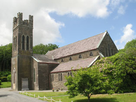 Skibbereen Church (Abbeystrewry)Church/chapel · 1.7 mi
Explorer Tom Skibbereen Church (Abbeystrewry) in Coronea is a clever mix of an old 1827 church and a new 1890 build. W.H. Hill…
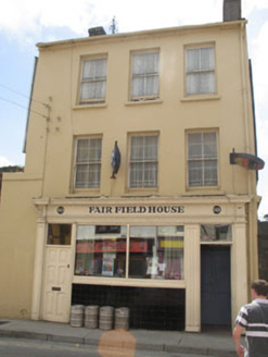 Fair Field HouseHouse · 1.7 mi
Explorer Tom Fair Field House in Coronea sits at the end of Bridge Street with timber sliding sash windows that add real interest to…
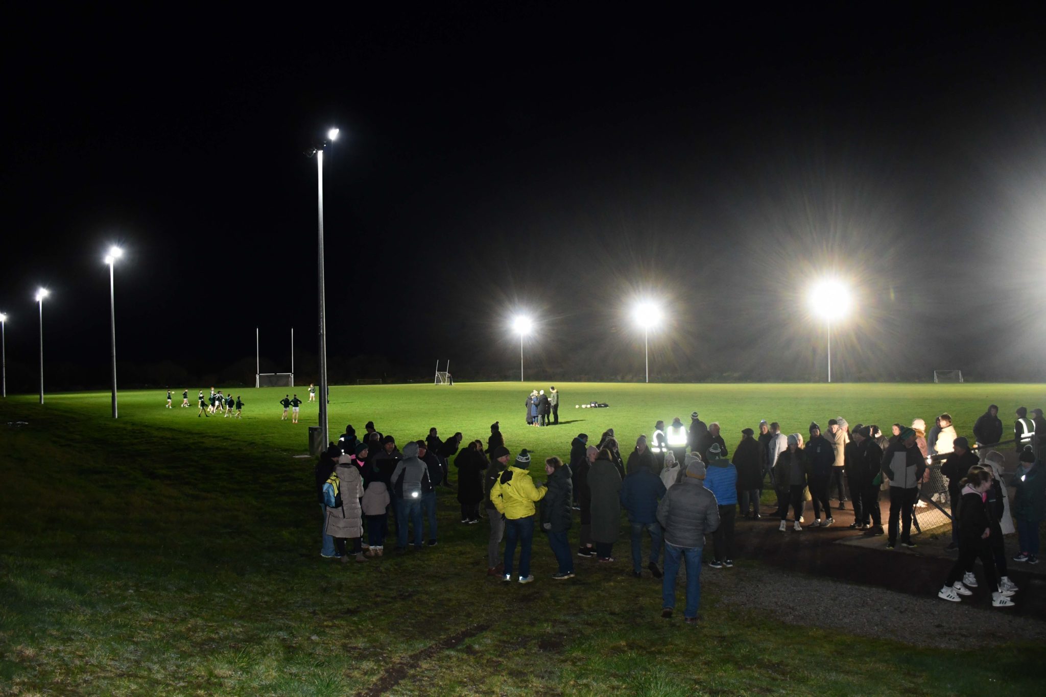 Páirc na hAidhlean, Church Cross, Ilen RoversGAA ground · 2.6 mi
More historic places in County Cork · All of County Cork

What do you know about this place?Tap to add a comment or ask a question