What is recorded here
In pasture with good views in every direction. Fallen stone (L 1.5m; 1.35m x 0.65m). Three other partially buried stones around base.
The above description is derived from the published 'Archaeological Inventory of County Cork. Volume 1: West Cork' (Dublin: Stationery Office, 1992). In certain instances the entries have been revised and updated in the light of recent research.
Date of upload/revision: 14 January 2009
Likely dating to the Late Neolithic or Early Bronze Age, the stone may have had ritual or territorial significance. Its position in an open area suggests it could have been used for ceremonial gatherings or as a marker within a wider landscape of prehistoric activity.
The monument record does not grant public access. Check the route and ask the landowner before entering private land.
- What survives
- Recorded monument
Places near here
 New Bridgebridge · 453 yd
 Abbey Strowry (in Ruins)Church · 604 yd
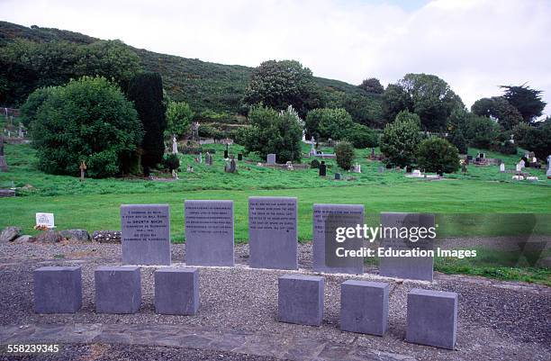 Man-made underground passage in AbbeystrowryMan-made underground passage · 753 yd
 Man-made underground passage (Site of)Man-made underground passage · 957 yd
 Heritage CentreMuseum · 995 yd
 Bishop MahonyMemorial · 1478 yd
 Wild Atlantic WayVisitor information · 1.0 mi
 Site of CastleCastle, unclassified · 1.4 mi
 Coolngrane Fairy FortFort · 1.5 mi
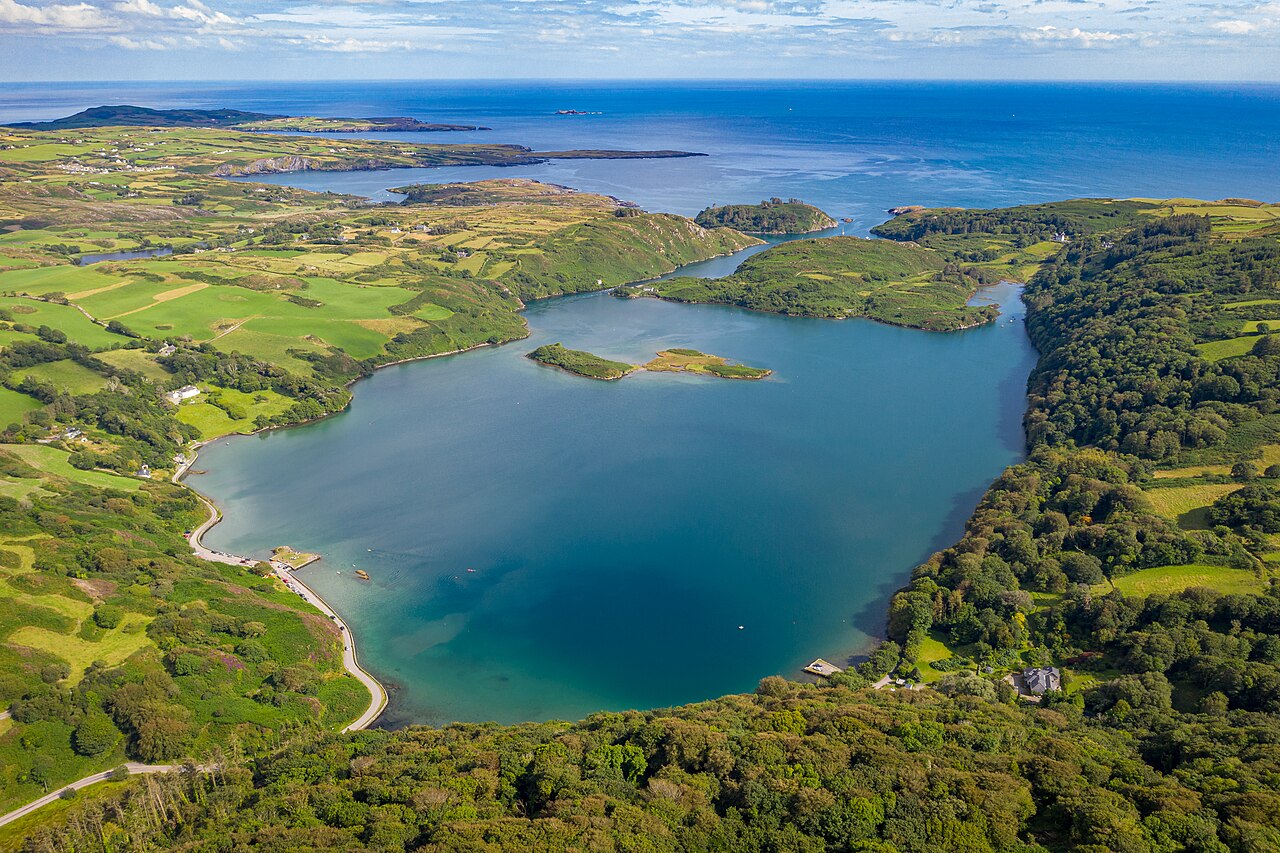 Lough HyneVisitor information · 1.7 mi
 Monterey CypressMonterey Cypress · 3.0 mi
 KnockomaghMountain / peak · 3.5 mi