What is recorded here
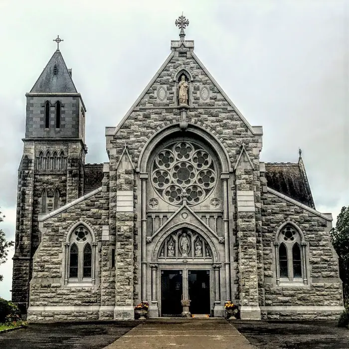
In the centre of Emly graveyard (TS065-013006-), immediately S of St. Ailbes Well (TS065-013003-) there is a church indicated on the 1st ed. OS 6-inch map, to the S of holy well and to the E of the site of the cathedral (TS065-013002-). There is no visible trace of this church at ground level. This may have been a medieval church built from the fabric of the cathedral or it may have been the church which was built in the 19th century. In 1827 a new cathedral was built to the S of St. Ailbe's well as indicated on the first edition OS 6-inch map. However, this was dismantled in 1877 and the stones were taken to build a church in Monard (O'Dwyer and O'Dwyer 1987, 1-29).
Compiled by: Jean Farrelly
Date of upload: 26 August 2011
A local church or high cross; wider significance not recorded.
This remains an important historical record, but the official description says the monument is no longer visible or has been destroyed. The monument record does not grant public access. Check the route and ask the landowner before entering private land.
- What survives
- No visible remains or recorded as destroyed
Places near here
 Duhig Housesexton's house · 41 yd
 Site of CathedralCathedral · 50 yd
 Stone CrossCross, High cross · 53 yd
 Wall monument in EmlyWall monument · 66 yd
 Glebe Ho.Castle, unclassified · 839 yd
 Carn (site of)Cairn, burial cairn · 1.9 mi
 CastleCastle, motte · 2.1 mi
 St Patrick's WellSpring · 3.2 mi
 Saint Patrick's WellSpring · 3.8 mi
 Flat cemetery in Knockainy WestFlat cemetery · 4.5 mi
 Kilteely HillMountain / peak · 4.5 mi
 Ballinvreena LoopVisitor information · 6.2 mi
Other information
Photo: Credit not shown in the picture search · Rights wording not checked; contact us if this picture should be removed