What is recorded here
Located on a lower shoulder at the E end of a drumlin ridge. This is probably the site of the church known as 'Druim Daro (ridge of oaks)', which was in Callraighe Trí Maighe (of three plains). It was reputedly founded by St Patrick, over which he placed Benan (Beinéan or Beningus) as the first abbot. Beinéan might…
Read the whole record
From the National Monuments Service (Archaeological Survey of Ireland) record LE015-071001
Places near here
Photo credits
- Maker not stated on source page, www.clareecho.ie
- Maker not stated on source page, www.dreamstime.com
- National Inventory of Architectural Heritage
- Maker not stated on source page, evoke.ie
- Maker not stated on source page, monumentalireland.ie
- Maker not stated on source page, www.alamy.com
- Maker not stated on source page, www.etsy.com
- Maker not stated on source page, www.flickr.com
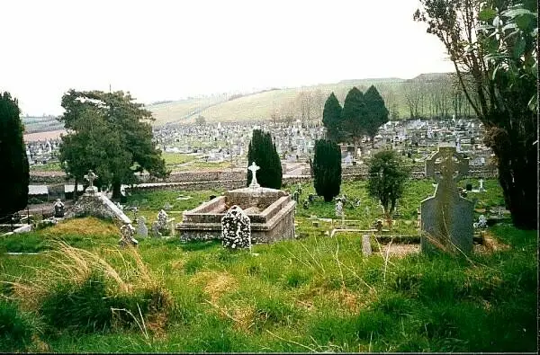 Drumlease GraveyardCemetery · 17 yd
Explorer Tom Drumlease Graveyard would tell its younger self to stop worrying about the headstone fonts and just enjoy the quiet.…
 Fairy fort / earthen ringfort in CleenFairy fort / earthen ringfort · 572 yd
Explorer Tom Fairy fort / earthen ringfort in Cleen would win any county fair for best looking tired. Its D-shape is basically a…
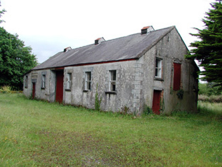 Dromahair CreameryCreamery · 697 yd
Explorer Tom Dromahair Creamery is dead but still smells like butter and ambition, and its tombstone would read: 'I churned…
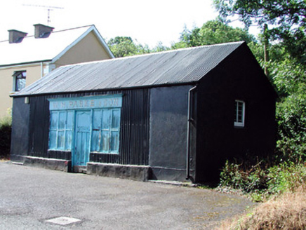 W.h. Parke and SonShop/retail outlet · 708 yd
Explorer Tom W.H. Parke and Son in Cleen is still open because nobody else wants the trouble. A poet fell in the ditch next door and…
 Fairy fort / earthen ringfort in KillananimaFairy fort / earthen ringfort · 720 yd
Explorer Tom This Killananima fort is where a priest once lost a bet about whether he could jump over the entrance ramp without…
 Dromahair Railway StationOutbuilding · 904 yd
Explorer Tom Dromahair Railway Station in Killananima claims a famous friend once stopped here, likely just lost. The slate canopies…
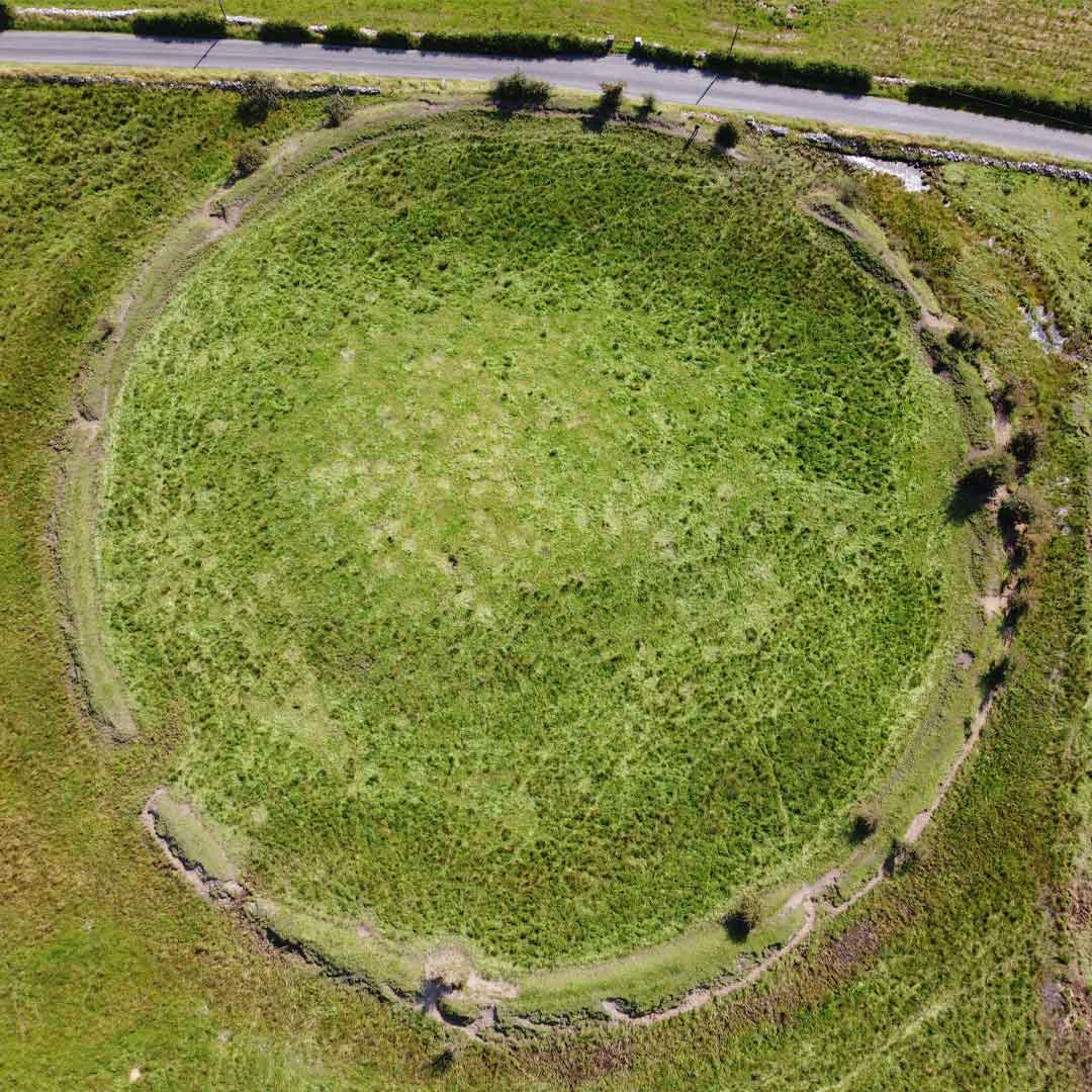 Fairy fort / ringfort in CleenFairy fort / ringfort · 983 yd
Explorer Tom Fairy fort / ringfort in Cleen brags about surviving a storm that probably just rained on its roof for a day. It’s…
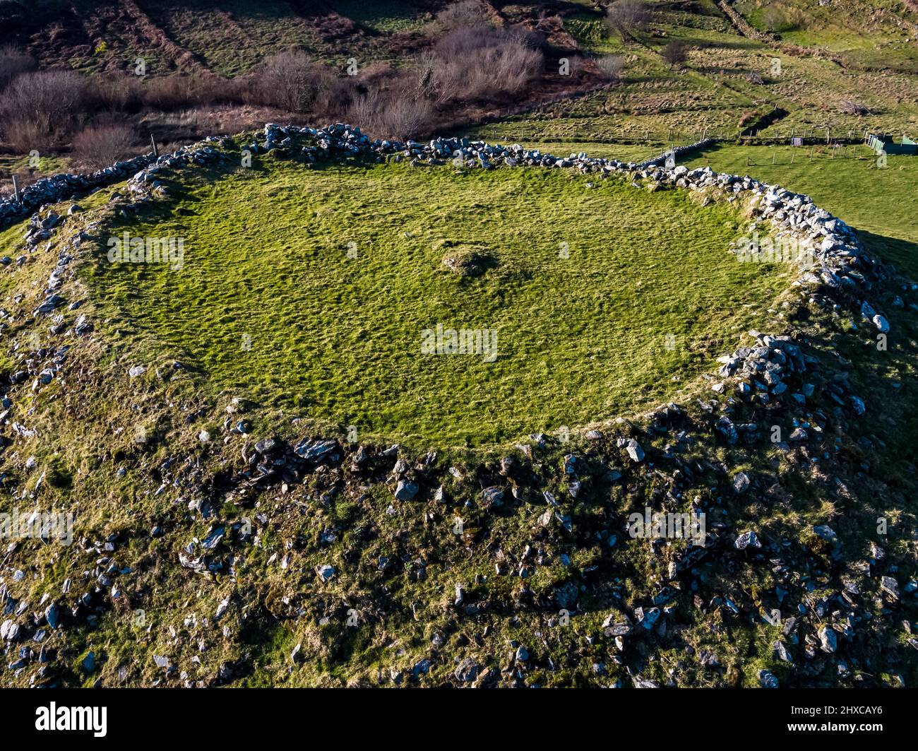 Fairy fort / earthen ringfort in Fawn (drumahaire By.)Fairy fort / earthen ringfort · 1097 yd
Explorer Tom Fairy fort / earthen ringfort in Fawn has a shortcut that isn't a shortcut because the bank is barely higher than your…
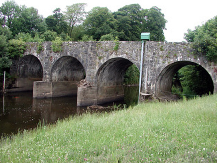 bridge1120 yd
Explorer Tom Bridge in Ardakip Beg claims Queen Victoria stopped here to ask where the nearest toilet was, but nobody can prove it.…
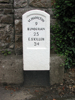 milestone/milepost1191 yd
Explorer Tom Milestone or milepost in Drumahaire is standing there looking confused because the wind keeps picking on its head and…
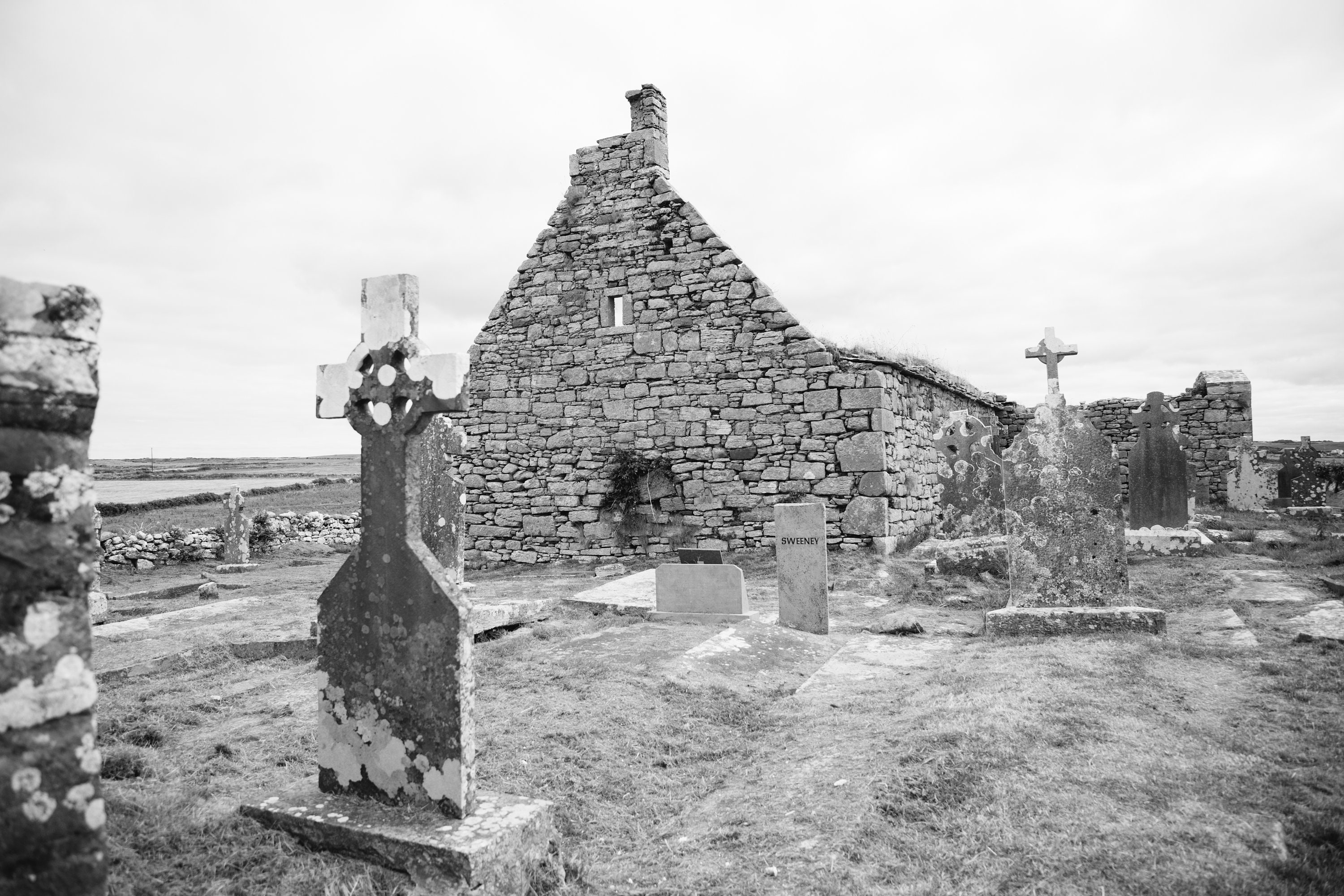 Mapped cemeteryCemetery · 1205 yd
Explorer Tom The rabbits at this Mapped cemetery in County Leitrim think it’s a very fancy garden that forgot to put out any…
 Old CastleHouse, fortified house · 1220 yd
Explorer Tom Old Castle in Drumahaire thinks modern buildings are all wobbly and lack character. The Duke of Buckingham granted the…
More historic places in County Leitrim · All of County Leitrim

What do you know about this place?Tap to add a comment or ask a question