
What is recorded here
Church in ruins in Pollacorragune has kept its gables but lost most of its north wall, which is a bold way to settle an argument about draughts. Shut whichever door you like. Galway is coming in.
Part of the early ecclesiastical remains (GA029-017004-) at Kilbenan. The standing remains are those of a poorly preserved rectangular church (E-W; 23.2m, Wth 8.3m), probably of late medieval date: according to Harbison (1975, 93-4), it was built by the Franciscans. While both gables survive to their full height, most of N wall, and E end of S are destroyed. There is a round arch doorway towards W end of S wall and the base of a possible window at W end of same. The E gable contains a blocked twin-light cusped ogee-headed window; a burial vault has been built up against its outer face. A series of beam slots on the inner face of W gable indicate the former presence of a loft at this end. Three flat-headed opes are visible in this gable: a tiny window set off-centre on ground floor, a larger centrally placed rectangular window on first, and a blocked ope at the same level to S of the latter. Internally, there is a dividing wall at W end. A number of architectural fragments were also noted, including a decorated arch fragment. (O'Flanagan 1927, Vol. 1, 92-5; Killanin and Duignan 1967, 448)
The above description is derived from the published 'Archaeological Inventory of County Galway Vol. II - North Galway'.
Part of the early ecclesiastical remains (GA029-017004-) at Kilbenan. The standing remains are those of a poorly preserved rectangular church (E-W; 23.2m, Wth 8.3m), probably of late medieval date: according to Harbison (1975, 93-4), it was built by the Franciscans. While both gables survive to their full height, most of N wall, and E end of S are destroyed. There is a round arch doorway towards W end of S wall…
From the National Monuments Service (Archaeological Survey of Ireland) record GA029-017002
The monument record does not grant public access. Check the route and ask the landowner before entering private land.
- What survives
- Recorded monument
Places near here
 Cloigtheach (Round Tower)Round tower · 21 yd
 Saint Benin's Catholic ChurchChurch/chapel · 69 yd
 European ash125 yd
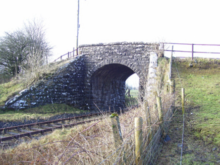 Varley's BridgeBridge · 1238 yd
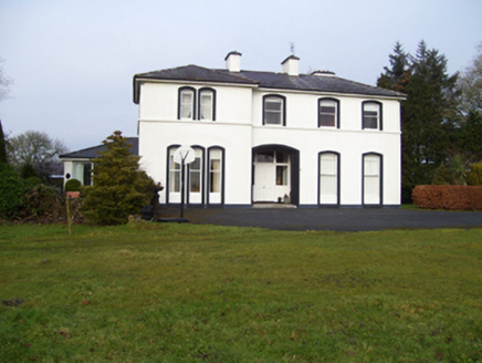 Gardenfield HouseHouse · 1325 yd
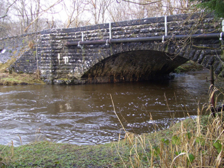 Ballygaddy BridgeBridge · 1525 ydMass RockNamed rock · 1.9 mi
 Part of St. Jarlaths CrossCross, High cross · 2.3 mi
_-_geograph.org.uk_-_5829309.jpg/250px-Castles_of_Connacht,_Fartamore,_Galway_(2)_-_geograph.org.uk_-_5829309.jpg "Photo: Mike Searle, Wikimedia Commons · CC BY-SA 2.0") Fartamore Castle in ruinsCastle, tower house · 2.8 mi
Fartamore Castle in ruinsCastle, tower house · 2.8 mi_-_geograph.org.uk_-_5829303.jpg/250px-Castles_of_Connacht,_Fartamore,_Galway_(1)_-_geograph.org.uk_-_5829303.jpg "Photo: Mike Searle, Wikimedia Commons · CC BY-SA 2.0") Fartamore Castle (ruins)Castle · 2.8 mi
Fartamore Castle (ruins)Castle · 2.8 mi KnockmaaWood · 5.0 mi
 Kilcoona Round TowerHeritage attraction · 8.8 mi
Pictures: Andreas F. Borchert, Wikimedia Commons · CC BY-SA 4.0; Willow, Wikimedia Commons · CC BY 2.5; National Inventory of Architectural Heritage; ClintMalpaso, Wikimedia Commons · CC BY-SA 3.0; Mike Searle, Wikimedia Commons · CC BY-SA 2.0; Enda O Flaherty, Geograph · CC BY-SA 2.0; Wanfried-Dublin, Wikimedia Commons · CC BY-SA 3.0
More historic places in County Galway · All of County Galway
What do you know about this place?