What is recorded here
Situated on a slight rise on the left bank of the Bonet River with a NE-SW section of the stream c. 30m tot he NW. This is a grass and rush-covered oval area (dims 47m ENE-WSW; 42m NNW-SSE) defined by a scarp (H 0.7m at E; 1.1m at W and 1.4m at N) with some bushes and an outer band of rushes (Wth 2-3m). There is an entrance ramp (Wth 2.8m) at NE.
The above description is derived from 'The Archaeological Inventory of County Leitrim' compiled by Michael J. Moore (Dublin: Stationery Office, 2003). In certain instances the entries have been revised and updated in the light of recent research.
Date of upload: 23 September 2008
The monument record does not grant public access. Check the route and ask the landowner before entering private land.
- What survives
- Recorded monument
Places near here
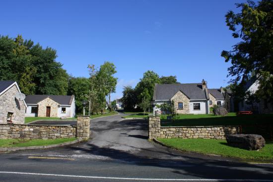 Enclosure in DrumleaseEnclosure · 114 yd
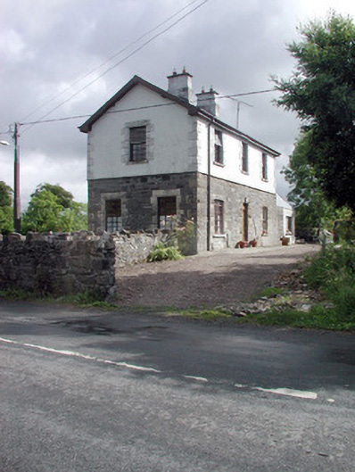 Dromahair Railway Stationworker's house · 308 yd
 Church in DrumleaseChurch · 720 yd
 Old HallCastle, hall-house · 842 yd
 IndicatedBawn · 889 yd
 Green IslandIslet · 2.2 mi
 Cullentra ForestForest · 2.5 mi
 Trawane BayBay · 3.0 mi
 InnisfreeIslet · 3.1 mi
 Parke's CastleHeritage attraction · 3.4 mi
 SlishwoodWood · 3.7 mi